Drone LiDAR Drone Technology guidance has gotten complicated with all the outdated regulations and conflicting advice flying around. Here’s what you actually need to know.
Introduction to LiDAR Drone Technology
Light Detection and Ranging (LiDAR) technology mounted on unmanned aerial systems represents one of the most significant advances in remote sensing capabilities available to commercial operators. Unlike photogrammetry, which relies on passive image capture, LiDAR actively emits laser pulses and measures their return time to calculate precise distances to surfaces below. This fundamental difference enables LiDAR drones to penetrate vegetation canopy, operate in varied lighting conditions, and produce immediately usable point cloud data without extensive processing.
The integration of LiDAR sensors with drone platforms has democratized access to technology previously reserved for expensive manned aircraft or satellite systems. Modern LiDAR drones can capture millions of measurements per second while maintaining centimeter-level accuracy, making them invaluable tools for forestry, infrastructure inspection, topographic mapping, and countless other applications.
How LiDAR Technology Works
LiDAR systems emit rapid pulses of laser light and measure the time required for each pulse to reflect back to the sensor. Since light travels at a known constant speed, time-of-flight measurements convert directly to distance calculations. Modern systems emit hundreds of thousands of pulses per second, building dense three-dimensional representations of scanned environments.
The laser wavelength affects how LiDAR interacts with different surfaces. Most terrestrial LiDAR systems use near-infrared wavelengths around 905nm or 1550nm. The 905nm wavelength offers good performance across most surfaces at lower cost, while 1550nm systems provide enhanced eye safety and better penetration through atmospheric moisture.
Multiple returns occur when laser pulses encounter semi-transparent obstacles like tree canopy. A single pulse might produce returns from leaves at various heights before finally reflecting from the ground surface. This multi-return capability makes LiDAR uniquely valuable for forestry applications and any scenario requiring measurement beneath vegetation.
Intensity values recorded alongside distance measurements describe how strongly each surface reflected the laser pulse. Different materials produce characteristic intensity signatures that help classify point cloud data. Asphalt, vegetation, water, and painted surfaces each exhibit distinct intensity patterns useful for automated feature extraction.
LiDAR Sensor Categories
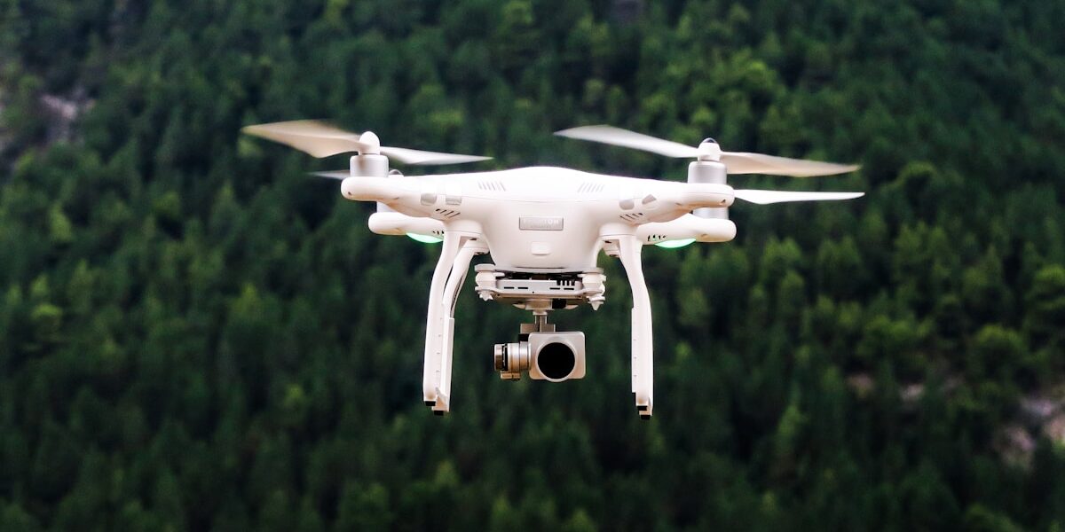
Single-beam scanning LiDAR uses rotating mirrors to direct laser pulses across the scanning area. These systems achieve high point density directly below the aircraft but require overlapping flight lines to ensure complete coverage. The DJI Zenmuse L1 exemplifies this category, offering accessible entry into LiDAR mapping for operators familiar with DJI platforms.
Multi-beam LiDAR arrays emit multiple laser pulses simultaneously, dramatically increasing effective scan rates. Systems like the Velodyne Puck or Livox sensors contain numerous laser emitters arranged to cover wide fields of view. These sensors capture more data per unit time but typically at higher cost and weight penalties.
Solid-state LiDAR eliminates mechanical scanning components through electronic beam steering or fixed array configurations. This emerging technology promises improved reliability through reduced moving parts, though current solid-state sensors generally offer lower performance than mechanical alternatives. Rapid development suggests solid-state systems will eventually dominate commercial applications.
Geiger-mode and single-photon counting LiDAR achieve extreme sensitivity by detecting individual reflected photons rather than aggregated pulse returns. These advanced systems can operate at higher altitudes and faster scan rates but require specialized processing and remain primarily available for military and government applications.
Platform Integration Considerations
LiDAR sensors require precise positioning data to convert distance measurements into accurate geographic coordinates. Inertial measurement units (IMUs) track aircraft orientation while GNSS receivers determine position. Survey-grade LiDAR systems integrate these components directly, while lower-cost options may rely on drone-mounted positioning systems with reduced accuracy.
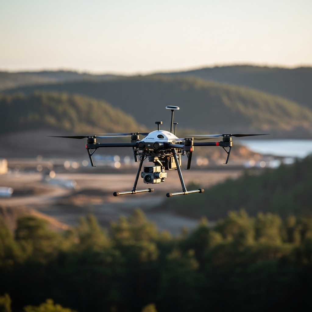
Weight and power consumption constrain LiDAR payload options for different drone platforms. Compact sensors like the DJI Zenmuse L1 or YellowScan Mapper weigh under two kilograms and integrate with medium-lift multirotors. Higher-performance sensors may require larger platforms or dedicated LiDAR aircraft capable of carrying payloads exceeding five kilograms.
Vibration isolation protects sensitive LiDAR optics from drone motor harmonics that could introduce measurement errors. Purpose-built LiDAR drones include dampening systems, while retrofit installations must address vibration management through aftermarket mounting solutions.
Flight time limitations become more pronounced with LiDAR payloads due to increased weight and power draw. A multirotor achieving 40 minutes flight time with a camera payload might manage only 25-30 minutes carrying LiDAR. Fixed-wing platforms offer advantages for large-area coverage where their superior endurance compensates for less flexible mission planning.
Data Collection Best Practices
Flight altitude selection balances coverage efficiency against point density requirements. Higher altitudes increase swath width but reduce point spacing, while lower flights concentrate measurements in smaller areas. Most commercial applications operate between 50-150 meters AGL, adjusting based on vegetation density and accuracy requirements.
Flight speed affects point spacing along the flight direction. Slower speeds produce denser point clouds but extend mission duration. The optimal speed depends on sensor scan rate and required point density, typically ranging from 5-15 meters per second for survey-grade applications.
Overlap between adjacent flight lines ensures complete coverage and provides redundant measurements for accuracy verification. Standard practice calls for 30-50% side overlap, though dense vegetation or complex terrain may require additional overlap to penetrate canopy gaps.
Weather conditions impact LiDAR performance more than many operators expect. Rain, snow, and fog scatter laser pulses before reaching intended targets. Even high humidity can affect measurement accuracy over longer ranges. Plan LiDAR missions for clear, dry conditions when possible.
Point Cloud Processing
Raw LiDAR data requires processing to transform sensor measurements into useful geographic products. Initial steps apply positioning corrections and calibration parameters to produce accurately georeferenced point clouds. This processing typically occurs automatically through manufacturer software or during post-processing workflows.
Classification separates point cloud data into meaningful categories. Ground points distinguish from vegetation, buildings, power lines, and other features. Automated classification algorithms handle most points, but complex environments often require manual review and correction.
Ground filtering extracts terrain points from vegetation and structures to create digital terrain models. Multiple algorithms exist with different strengths across varied terrain types. Steep slopes, dense vegetation, and complex urban environments challenge automated filtering and may require parameter adjustment or manual editing.
Noise removal eliminates erroneous points caused by atmospheric interference, multipath reflections, or sensor errors. Statistical outlier detection identifies points inconsistent with neighboring measurements. Aggressive filtering risks removing valid data, so parameters require careful tuning based on project conditions.
Deliverable Products
Classified point clouds serve as the foundation for derivative products and direct analysis workflows. Standard formats like LAS or LAZ store coordinates, intensity, classification, and return information for each measured point. These files can grow extremely large for detailed surveys, often requiring compression or tiling for practical handling.
Digital terrain models (DTMs) represent bare-earth elevation extracted from ground-classified points. Gridded DTMs assign elevation values to regularly spaced cells, while TIN models connect points into triangulated surfaces. Resolution depends on original point density and intended application requirements.
Digital surface models (DSMs) include above-ground features like vegetation and structures. Comparing DSM and DTM elevations yields normalized height values useful for vegetation analysis, building height determination, and change detection between surveys.
Contour lines derived from terrain models provide traditional cartographic representations familiar to many users. LiDAR enables contour generation at intervals impossible from other data sources, with sub-meter contours routine for professional surveys.
Intensity images resemble aerial photographs but derive from laser reflectance rather than visible light. These grayscale images help interpret point cloud data and identify features through characteristic intensity patterns.
Industry Applications
Forestry operations use LiDAR for timber inventory, canopy analysis, and terrain mapping beneath forest cover. Individual tree detection algorithms extract stem locations and height measurements from point clouds, enabling precise inventory without ground-based sampling.
Power line inspection combines LiDAR distance measurements with thermal and visual sensors for comprehensive infrastructure assessment. Automated analysis detects vegetation encroachment, conductor sag, and structural anomalies requiring maintenance attention.
Flood modeling depends on accurate terrain data that LiDAR provides more efficiently than any alternative technology. Hydraulic engineers use LiDAR-derived terrain models to predict flood extents and design mitigation infrastructure.
Archaeological survey reveals subtle terrain features invisible to other sensing methods. LiDAR penetrates forest canopy to expose ancient structures, agricultural terraces, and cultural landscapes hidden for centuries.
Corridor mapping for highways, railways, and pipelines benefits from LiDAR’s ability to capture detailed linear infrastructure and surrounding terrain in continuous strips. Design engineers receive accurate existing conditions data to support improvement planning.
Accuracy and Quality Considerations
Absolute accuracy describes how closely LiDAR measurements correspond to true geographic positions. Survey-grade systems routinely achieve 5-10 centimeter vertical accuracy and similar horizontal performance. Achieving these specifications requires proper calibration, quality positioning data, and appropriate processing workflows.
Relative accuracy measures internal consistency within a dataset. Even when absolute positioning contains errors, relative measurements between features may remain highly precise. Many engineering applications depend more on relative than absolute accuracy.
Point density affects the features detectable in LiDAR data. Dense point clouds reveal small objects and subtle terrain variations that sparse data would miss. Typical commercial surveys capture 10-100 points per square meter, while specialized applications may require hundreds of points per square meter.
Calibration ensures sensor measurements accurately reflect physical reality. Regular calibration flights over known targets detect drift in sensor parameters requiring correction. Manufacturers provide calibration procedures and may offer factory recalibration services.
Conclusion
LiDAR drone technology delivers measurement capabilities unprecedented in their combination of accuracy, efficiency, and accessibility. Understanding sensor principles, platform integration, collection practices, and processing workflows enables operators to extract maximum value from LiDAR investments. As sensor costs decline and capabilities improve, LiDAR will transition from specialized tool to standard practice across industries requiring detailed three-dimensional environmental information. Organizations investing in LiDAR capabilities now position themselves advantageously for this inevitable transition.


Stay in the loop
Get the latest light drones updates delivered to your inbox.