
Drone Drone Imaging guidance has gotten complicated with all the outdated regulations and conflicting advice flying around. Here’s what you actually need to know.
Drone Imaging
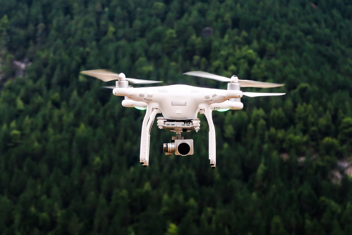
Drone imaging, also known as aerial imaging or photogrammetry, leverages unmanned aerial vehicles (UAVs) to capture detailed and high-resolution images from above. This technology has transformed many industries, providing new perspectives and efficient ways to gather data. Drones equipped with cameras and sensors can collect information that is otherwise difficult, time-consuming, or expensive to obtain using traditional methods.
Applications of Drone Imaging
One of the most popular uses of drone imaging is in agriculture. Farmers use drones to monitor crop health, assess irrigation needs, and detect pest infestations. By capturing images from above, drones can identify areas that require attention, thus allowing farmers to apply water, fertilizer, or pesticides more precisely, improving crop yields and reducing costs.
In the field of construction and infrastructure, drones provide invaluable services. They conduct site surveys, monitor progress, and inspect structures. This not only speeds up the inspection process but also enhances safety by reducing the need for workers to access hazardous locations.
Environmental monitoring also benefits from drone technology. Researchers and conservationists use drones to study ecosystems, track wildlife, and assess damage from natural disasters. They can gather data on hard-to-reach areas, such as dense forests or remote islands, with minimal disturbance to the environment.
Real estate professionals utilize drone imaging to create dynamic and engaging property listings. Aerial views provide potential buyers with a better understanding of a property’s layout and its surroundings, making listings more attractive and informative.
In disaster management, drones offer critical support. They provide real-time images that assist rescue operations, map damage, and assess risks. During events like hurricanes, earthquakes, and floods, drones can quickly cover large areas and transmit important information to first responders.
Types of Drone Imagery
Optical imaging is the most common type of drone imagery. It uses standard cameras to capture photos and videos, providing clear and detailed visual information. High-definition and 4K cameras have increased the quality and usability of this type of imagery.
Thermal imaging detects heat patterns and captures temperature variations. It is useful for various applications, such as locating living beings in search and rescue operations, inspecting electrical equipment, and monitoring thermal leaks in buildings.
Multispectral imaging captures data at different wavelengths across the electromagnetic spectrum. This type of imaging is particularly valuable in agriculture and environmental monitoring, enabling the analysis of plant health, soil conditions, and water quality.
Lidar (Light Detection and Ranging) is another technology employed in drone imaging. It uses laser pulses to create highly accurate 3D maps and models. Lidar is essential for topographic mapping, forestry, and urban planning.
Technical Aspects
The quality of drone imaging depends on several factors. The resolution of the camera is crucial. Higher resolution cameras can capture finer details. The stability of the drone during flight also affects image quality. Drones with advanced stabilization systems are better suited for capturing clear and precise images.
GPS technology enhances the accuracy of drone imaging. Drones can follow pre-programmed flight paths with GPS guidance, ensuring consistent and repeatable image capture. This is particularly important for applications that require frequent monitoring of the same area.
Data processing and analysis are integral parts of drone imaging. Software tools are used to stitch together individual images into cohesive maps or 3D models. These tools also allow for the extraction and interpretation of data, turning raw images into actionable information.
Regulations and Challenges
Operating drones for imaging purposes is subject to regulations. Different countries have varying laws and restrictions concerning drone use. Typically, operators need to obtain licenses and adhere to guidelines related to flight altitude, distance, and no-fly zones.
Privacy concerns arise with the widespread use of drones. Capturing images over private properties can be contentious. It is important for operators to respect privacy laws and obtain necessary permissions.
Weather conditions can impact drone operations. Drones may not perform well in extreme weather, such as heavy rain, strong winds, or snow. Weather can also affect the quality of images captured, making it difficult to plan consistent data collection.
Battery life is another limitation. Most drones have relatively short flight times, typically ranging from 20 to 30 minutes. This restricts the amount of data that can be collected in a single flight and necessitates frequent recharging or battery swaps.
Future Trends
Advancements in technology continue to expand the potential of drone imaging. Artificial intelligence and machine learning are increasingly being integrated into drone systems. These technologies enable drones to autonomously analyze and interpret the images they capture, enhancing efficiency and accuracy.
Miniaturization of sensors and cameras allows drones to carry more equipment without compromising flight performance. This opens up new possibilities for multi-sensor missions, where drones can capture different types of data simultaneously.
Swarm technology represents another emerging trend. Coordinated groups of drones can work together on complex tasks, covering larger areas more quickly and efficiently than a single drone could.
Integration with other technologies, such as the Internet of Things (IoT), can enhance the capabilities of drone imaging systems. For instance, drones can be connected to sensors on the ground or in other vehicles, providing a comprehensive view of an area or situation.
Conclusion
Drone imaging is a rapidly evolving field with significant implications for various industries. As technology advances and regulations adapt, the applications and benefits of drone imaging will continue to grow. Understanding the capabilities, limitations, and responsible use of this technology is essential for maximizing its potential.


Stay in the loop
Get the latest light drones updates delivered to your inbox.