Drone Lidar in Agriculture: The Futu guidance has gotten complicated with all the outdated regulations and conflicting advice flying around. Here’s what you actually need to know.
Lidar in Agriculture: The Future of Farming
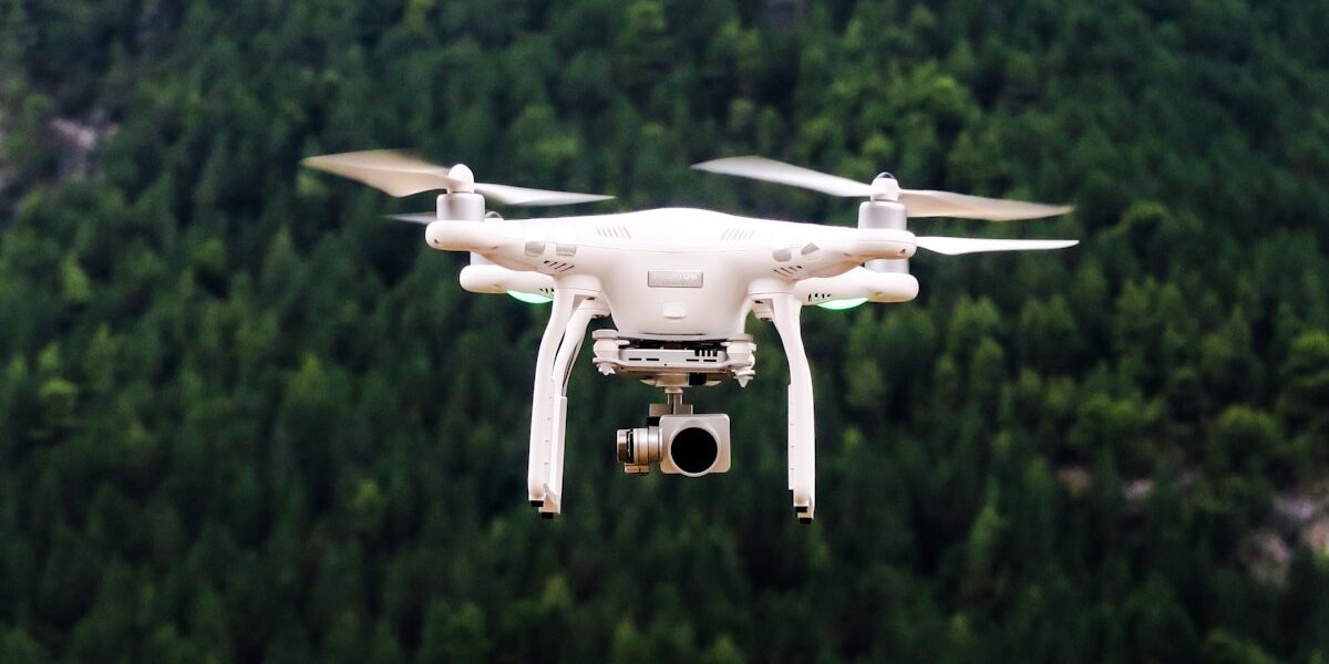
Lidar, which stands for Light Detection and Ranging, is transforming agriculture. This innovative technology uses laser light to map surfaces. Not just for self-driving cars and archaeology, lidar is making a significant impact on farming. It provides farmers with detailed, accurate data. This helps in making informed decisions to improve crop yields and protect natural resources.

How Lidar Works
Lidar involves sending out laser pulses. These pulses hit objects and reflect back to the sensor. The time it takes for the pulse to return measures the distance. Combining these measurements with GPS coordinates creates detailed maps and models. These models offer high-resolution images of the terrain, vegetation, and structures.
Applications in Agriculture
- Field Mapping
- Soil Analysis
- Crop Health Monitoring
- Water Management
Field Mapping
Traditional field mapping techniques can be time-consuming and less accurate. Lidar provides precise topographic maps of fields. These maps show variations in landscape features. Slopes, elevations and other details come into view. Farmers can better understand their fields, plan irrigation systems, and identify areas prone to erosion.
Soil Analysis
Soil properties influence crop growth significantly. Lidar helps in analyzing soil texture, composition, and moisture levels. Lidar data combined with soil samples provides a comprehensive view. This helps in precise application of fertilizers and amendments. It leads to better soil health and improved crop productivity.
Crop Health Monitoring
Healthy crops lead to better yields. Lidar enables farmers to monitor crop health in real-time. By measuring the height and density of crops, lidar can identify issues such as disease, nutrient deficiencies, or pest infestations. This allows for timely interventions to address problems.
Water Management
Effective water management is critical in agriculture. Lidar produces detailed maps of water flow patterns in fields. This helps in designing efficient irrigation systems. Farmers can reduce water usage and ensure crops get the right amount. It also helps to prevent waterlogging and erosion by understanding drainage patterns.
Benefits of Using Lidar
- Precision Farming
- Cost Efficiency
- Environmental Protection
Precision Farming
Precision farming relies on accurate data. Lidar provides detailed information on field conditions. This data allows farmers to apply inputs like water, fertilizers, and pesticides only where needed. This targeted approach reduces waste and increases efficiency. It maximizes crop production and supports sustainable farming practices.
Cost Efficiency
Although the initial investment in lidar technology might be high, the benefits outweigh the costs. Savings come from reduced inputs and increased yields. Lidar data makes operations more efficient. This results in money saved in the long run. Farmers can make better investment decisions based on accurate data.
Environmental Protection
Overuse of chemicals and water can harm the environment. Lidar helps farmers use these resources judiciously. Precision application of inputs reduces runoff into water bodies. It minimizes soil degradation and conserves water. Lidar supports environmentally friendly farming practices.
Challenges and Limitations
- Cost and Accessibility
- Technical Expertise
- Data Integration
Cost and Accessibility
Lidar technology is not cheap. The cost of equipment and data analysis can be a barrier for small-scale farmers. However, costs are gradually coming down. As the technology becomes more widespread, it will become more accessible to all farmers.
Technical Expertise
Using lidar requires a certain level of technical expertise. Farmers need to understand how to operate the equipment and interpret the data. This might necessitate training or hiring skilled personnel. Outreach and education programs can help bridge this gap.
Data Integration
Lidar data needs to be integrated with other data sources for maximum benefit. Soil samples, weather data, and historical crop information should be combined with lidar data. This requires robust data management systems. Integrating these data sources into a coherent framework can be challenging but essential for comprehensive farm management.
Future Prospects
The use of lidar in agriculture is expected to grow. Advances in technology will make it more affordable and easier to use. Integration with other agricultural technologies, like drones and IoT devices, will enhance its utility. Future innovations may include real-time monitoring and automated systems for even greater precision.


Stay in the loop
Get the latest light drones updates delivered to your inbox.