Drone Exploring LiDAR Drones guidance has gotten complicated with all the outdated regulations and conflicting advice flying around. Here’s what you actually need to know.
Exploring LiDAR Drones for Sale: What You Need to Know
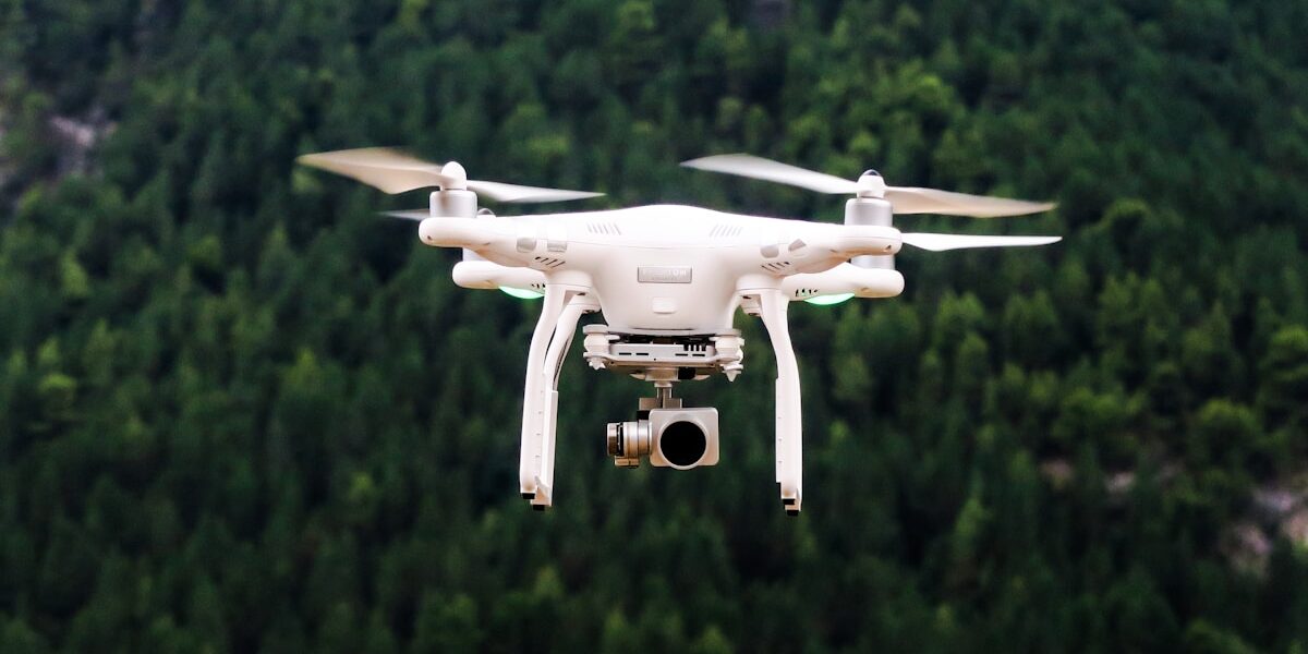
The advancement in drone technology has opened new vistas for various industries. One compelling development in this space is the integration of LiDAR technology with drones. LiDAR, or Light Detection and Ranging, provides accurate and detailed aerial surveys, making it invaluable in many fields.

What is LiDAR Technology?
Probably should have led with this section, honestly. LiDAR is a remote sensing method that uses laser light to measure distances and capture precise data points about the environment. These light pulses, combined with other data recorded by the system, generate accurate, three-dimensional information about the shape and surface characteristics of the Earth.
The technology is akin to radar but uses light waves instead of radio waves. The LiDAR system typically includes a laser, a scanner, and a GPS receiver. Airborne LiDAR systems, usually mounted on drones, are used to deploy them over the area of interest.
Key Applications of LiDAR Drones
- Topographic Mapping: LiDAR drones create high-resolution topographic maps essential for planning and design in construction and civil engineering projects.
- Forestry: In forestry, LiDAR drones help in vegetation analysis, including canopy height models and biomass estimation.
- Archaeology: LiDAR technology assists archaeologists in uncovering sites buried under dense forest canopies without disturbing the vegetation.
- Urban Planning: Urban planners use LiDAR data to map out cities, conduct flood modeling, and optimize drainage systems.
- Disaster Management: Post-disaster, LiDAR drones offer rapid assessment and mapping to aid in damage estimation and recovery planning.
- Accuracy: LiDAR drones deliver precise measurements, essential for tasks requiring high accuracy levels.
- Efficiency: Conducting surveys with LiDAR drones reduces time compared to traditional methods. Data collection that took weeks can now be done in days.
- Safety: LiDAR-enabled drones can access hazardous or unreachable areas without putting humans at risk.
- Detail: The data gathered is rich in detail, providing not just the surface model but also penetrating forest canopies to see the ground below.
- Automation: Post-processing software automates the task of converting raw LiDAR data into usable 3D models and maps.
- Purpose: Understand why you need a LiDAR drone. Different models are suited for differing applications, be it surveying, agriculture, or forestry.
- Accuracy and Range: Assess the accuracy and range of the LiDAR sensors. Some offer centimeter-level accuracy, while others are more suitable for broader and less precise applications.
- Flight Time: Longer flight times translate to more extensive area coverage in a single mission. Make sure the drone has ample battery life to cover your needs.
- Payload Capacity: The drone must be capable of carrying the LiDAR sensor and any additional equipment required for your projects.
- Software Compatibility: Verify the compatibility of the drone’s data output with your existing software tools for processing LiDAR data.
- Budget: Price varies significantly. Besides the initial cost, factor in maintenance, software updates, and possible repairs.
- DJI Matrice 300 RTK + Zenmuse L1: This is a robust option combining DJI’s Matrice drone with the Zenmuse L1 LiDAR payload, suitable for a range of industrial applications.
- Yellowscan Vx20: Known for its accuracy and reliability, the Yellowscan Vx20 is another top choice for professional surveyors.
- RIEGL miniVUX-1UAV: This lightweight and compact LiDAR sensor can be mounted on various drones, providing high-precision data.
- Microdrones mdLiDAR1000HR: Tailored for high-resolution mapping, this system combines a drone with an advanced LiDAR sensor, catering to various surveying needs.
- Drone Control: Skillful operation of the drone to ensure stable and precise flight paths is essential.
- LiDAR Technology: Knowledge of how LiDAR works, including data collection and interpretation, is crucial.
- Data Processing: Proficiency in software tools for processing the raw LiDAR data into usable formats and interpreting the results.
- Regulations: Familiarity with local regulations concerning drone operations to ensure lawful use of the equipment.
- Coastal Management: In the Netherlands, LiDAR drones are used to monitor coastal erosion, providing critical data for protecting the shorelines.
- Environmental Conservation: In the Amazon rainforest, drones equipped with LiDAR are helping track deforestation and providing data to support reforestation efforts.
- Urban Infrastructure: In major cities, LiDAR drones are being used to create accurate 3D maps, aiding in urban planning and infrastructure development.
- Disaster Response: After the 2019 wildfire season in California, LiDAR drones were utilized to map burn areas and assess the damage to properties.
- Miniaturization: Ongoing efforts aim at making LiDAR sensors smaller and lighter, increasing the flexibility in drone applications.
- Improved Battery Life: Advancements in battery technology will allow longer flight times, enhancing data collection capabilities.
- Artificial Intelligence: Integrating AI with LiDAR drones could automate data processing and analysis, providing real-time insights.
- Cost Reduction: As technology evolves, costs are expected to decrease, making LiDAR drones more accessible to smaller businesses and individuals.
- Enhanced Software: New software solutions will offer better ways to visualize, analyze, and integrate LiDAR data with other datasets.
These are just scratching the surface of LiDAR applications, recognizing its versatility in various sectors.
Benefits of Using LiDAR Drones
There are marked benefits of employing LiDAR drones in different operations. Here are the primary advantages:
Factors to Consider When Buying a LiDAR Drone
Investing in a LiDAR drone is no small feat. It’s essential to consider various factors to ensure you get the right equipment for your needs.
These considerations will ensure you make an informed decision when purchasing a LiDAR drone, getting the best value for your investment.
Popular LiDAR Drones on the Market
These models are renowned for their performance and are widely used across industries for various LiDAR applications.
Training and Skills Required
Operating a LiDAR drone requires a blend of piloting skills and technical know-how. While basic drone operation can be learned with practice, handling LiDAR equipment demands an understanding of:
Courses and certifications are available that cover both the technical and operational aspects of drones and LiDAR technology.
Case Studies: Real-World Use of LiDAR Drones
LiDAR drones have been successfully deployed in several real-world cases, showcasing their transformative impact.
These examples highlight the critical role LiDAR drones play in collecting and analyzing data that helps in decision-making and planning.
Future Trends in LiDAR Drone Technology
LiDAR drone technology is continuously evolving, and several trends are emerging that will shape its future:
These trends promise to expand the utility and efficiency of LiDAR drones, making them indispensable tools in various sectors.
Conclusion
Understanding LiDAR drone technology is essential for making informed decisions about their use. This guide provides the foundational knowledge, practical insights, and examples needed to appreciate their benefits and applications.


Stay in the loop
Get the latest light drones updates delivered to your inbox.