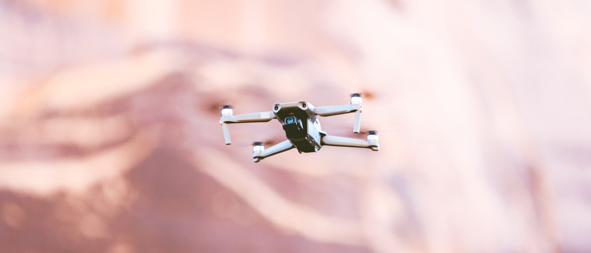
Drone Volume Measurement with Drones guidance has gotten complicated with all the outdated regulations and conflicting advice flying around. Here’s what you actually need to know.
Volume Measurement with Drones
Using drones for volume measurement is transforming various industries. This technology offers accuracy, efficiency, and safety. Let’s delve into how it works and its applications.
How Drones Measure Volume
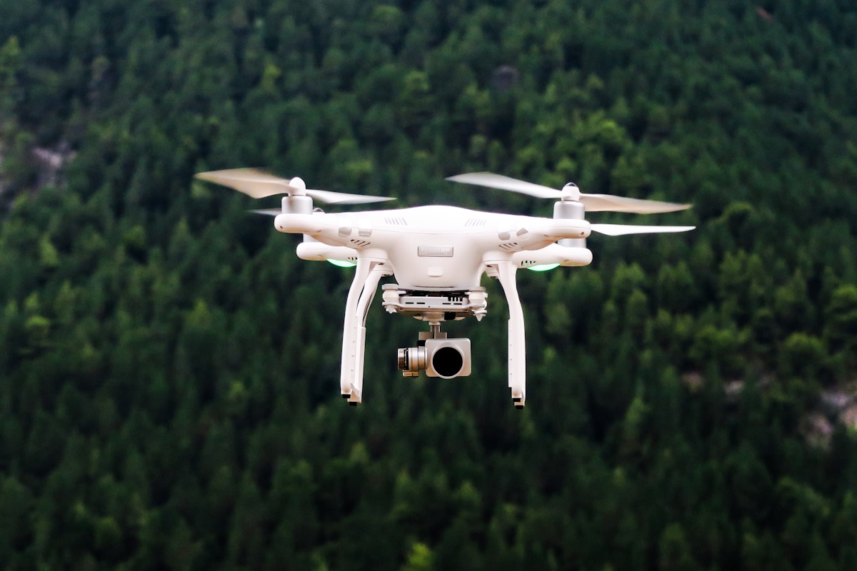
Drones equipped with high-resolution cameras or LiDAR sensors capture detailed aerial images of a site. These images help create 3D models using photogrammetry software. The 3D models provide accurate volume calculations.
Preparing for the Flight
Surveyors plan a flight path covering the entire area of interest. Pre-flight checks ensure the drone operates correctly. Weather conditions are also considered to avoid disruptions.
Data Collection
The drone follows the programmed flight path autonomously. It captures overlapping images of the terrain. Ground control points (GCPs) placed across the area enhance accuracy.
Data Processing
Post-flight, the images are uploaded to photogrammetry software. Algorithms stitch the images together to form a 3D model. Users can then calculate the volume of stockpiles, excavations, or other features.
Applications in Different Industries
Construction
In construction, drones monitor progress and measure stockpile volumes. This data helps manage materials and project timelines efficiently. Contractors use drone surveys for planning and verifying earthworks.
Mining
Mining operations benefit greatly. Drones provide quick, accurate volume measurements of ore stockpiles. Mine managers can track inventory and manage resources better.
Agriculture
Farmers use drones for topographic surveys and volume measurements of silos or grain piles. This assists in crop management and storage planning.
Environmental Monitoring
Environmental agencies monitor terrain changes caused by natural events. Drones measure the volume of landslides, floods, or erosion areas. This data is essential for impact assessments and remediation efforts.
Advantages of Using Drones
Accuracy
Drones offer high precision in volume measurement. Ground control points and advanced sensors ensure reliable data.
Efficiency
Manual surveys can be time-consuming and labor-intensive. Drones cover large areas quickly, saving time and resources. They reduce the need for extensive fieldwork.
Safety
Drones minimize the need for personnel to access hazardous areas. Surveyors can gather data from a safe distance, reducing the risk of accidents.
Cost-Effectiveness
Drones lower operational costs by requiring fewer resources compared to traditional methods. They offer a quicker return on investment due to time and labor savings.
Challenges and Considerations
Regulations
Operating drones requires compliance with local aviation regulations. Licenses and permits may be necessary, depending on the region and intended use.
Weather Conditions
Adverse weather can impact drone flights. Strong winds, rain, or fog may disrupt data collection. Planning flights during favorable conditions is essential.
Battery Life
Drones have limited battery life, affecting flight time and coverage area. Planning efficient flight paths and having backup batteries can mitigate this issue.
Data Processing
Processing large volumes of data can be resource-intensive. High-performance computing and advanced software are needed to generate accurate 3D models.
Future Developments
The technology of drones and sensors continues to advance. Future developments may include enhanced sensors for better data quality. Improved algorithms could speed up data processing. Integration with other technologies like AI may provide real-time analysis and decision-making.
Using drones to measure volume marks a significant step forward across various fields. The ongoing adaptation and improvements of this technology hold substantial promise for future applications.


Stay in the loop
Get the latest light drones updates delivered to your inbox.