Drone Aerial Imaging Market guidance has gotten complicated with all the outdated regulations and conflicting advice flying around. Here’s what you actually need to know.
Aerial Imaging Market
Aerial Imaging Market
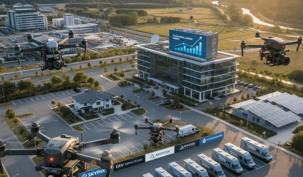
The aerial imaging market is experiencing steady growth due to advances in technology and increasing demand across various sectors. This field involves capturing photographs and videos from an airborne perspective using unmanned aerial vehicles (UAVs), helicopters, and aircraft. The data obtained is used in numerous applications, including agriculture, urban planning, real estate, and disaster management.

Technological Advancements
Recent improvements in camera resolution, image processing software, and drone technology have significantly enhanced aerial imaging capabilities. High-resolution cameras and sophisticated lenses provide clearer and more detailed images. Drones equipped with GPS systems enable precise geolocation tagging. Additionally, advancements in data processing software allow for faster and more accurate analysis of aerial images.
Key Applications
Agriculture
In agriculture, aerial imaging helps in monitoring crop health, assessing soil conditions, and managing irrigation. Farmers can detect stress signs in crops, identify pest infestations, and optimize the use of fertilizers. This technology promotes precision agriculture, resulting in increased yields and reduced costs.
Urban Planning
Aerial imaging is invaluable in urban planning and infrastructure development. It provides detailed topographic data, helps in planning road networks, and supports the design of residential and commercial areas. Planners can visualize large areas, identify potential issues, and make informed decisions.
Real Estate
In the real estate sector, aerial images enhance property listings by providing buyers with comprehensive views of properties and their surroundings. These images highlight property features, proximity to amenities, and neighborhood layouts, making listings more attractive to potential buyers and investors.
Disaster Management
Aerial imaging plays a crucial role in disaster management. It helps in assessing damage, planning response efforts, and coordinating rescue operations. Real-time aerial images provide critical information for managing natural disasters such as floods, hurricanes, earthquakes, and wildfires.
Market Trends
The aerial imaging market is influenced by several trends, including the increasing use of drones, integration with geographic information systems (GIS), and rising demand from emerging markets. As drones become more affordable and regulations evolve, their adoption in aerial imaging is accelerating. The integration of aerial images with GIS allows for enhanced analysis and decision-making. Emerging markets, particularly in Asia-Pacific, are showing significant demand growth due to rapid urbanization and infrastructure development.
Industry Challenges
Despite its growth, the aerial imaging market faces challenges. Regulatory hurdles, privacy concerns, and the need for skilled operators are notable obstacles. Stringent regulations governing drone flights and data collection vary by region, affecting market potential. Privacy concerns related to the unauthorized capture of images in private spaces need addressing. Additionally, operating advanced aerial imaging equipment requires specialized training and expertise.
Leading Companies
Several companies play a major role in the aerial imaging market. These include:
- Northrop Grumman Corporation
- Google Inc.
- Fugro N.V.
- Digital Aerial Solutions LLC
- Nearmap Ltd.
- GeoVantage, Inc.
- DRONE DEPLOY
These companies provide innovative solutions and services, driving advancements in the market. They offer high-quality imaging services and continue to develop cutting-edge technologies to meet diverse industry needs.
Future Outlook
The future of the aerial imaging market looks promising. Continued technological advancements, growing demand across industries, and expanding applications will fuel market growth. Companies in this space will likely focus on enhancing image quality, improving data analytics, and addressing regulatory and privacy concerns.
Investment Opportunities
Investors are showing interest in the aerial imaging market due to its growth potential. Startups and established companies alike are attracting funding for developing new technologies and expanding market reach. Investment opportunities abound in areas such as drone manufacturing, image processing software, and service providers specializing in aerial imaging.
Conclusion
The aerial imaging market is on an upward trajectory, driven by advancements in technology and increasing demand from various sectors. This growth is supported by key applications in agriculture, urban planning, real estate, and disaster management. Despite challenges, the market presents significant opportunities for innovation and investment.


Stay in the loop
Get the latest light drones updates delivered to your inbox.