
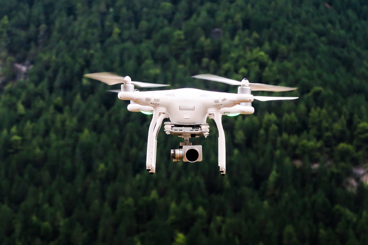
Drone Pros and Cons of Lidar guidance has gotten complicated with all the outdated regulations and conflicting advice flying around. Here’s what you actually need to know.
Pros and Cons of Lidar
Pros and Cons of Lidar
Lidar stands for Light Detection and Ranging. It’s a remote sensing technology. It measures distances using laser light. Lidar sensors emit light pulses. The pulses bounce back after hitting an object. This data helps generate precise, three-dimensional information about objects and their environment.
Pros of Lidar
Accuracy
Lidar offers high accuracy in distance measurements. This makes it useful in applications requiring precise data. Unlike traditional surveying methods, Lidar can achieve centimeter-level accuracy.
Speed
Lidar systems can capture data quickly. They gather thousands of data points per second. This efficiency reduces the time required for surveys and inspections.
Detailed 3D Mapping
The capability to produce detailed 3D maps is one of Lidar’s strongest suits. It can create digital elevation models (DEMs) and digital surface models (DSMs) that provide comprehensive terrain information. This is particularly useful in environmental monitoring and urban planning.
Penetration of Vegetation
Lidar pulses can penetrate through vegetation. This enables it to provide ground elevation data in forested areas. Optical imagery can’t perform this function as effectively. This makes Lidar invaluable in forestry and agricultural applications.
Autonomous Vehicles
Lidar is crucial in the development of autonomous vehicles. It offers reliable real-time mapping and obstacle detection. This contributes to safer navigation and improved collision avoidance systems.
Cons of Lidar
Cost
Lidar technology can be expensive. The cost of Lidar sensors and systems is high, which can limit accessibility for some users. This is especially true for small businesses or individual researchers with limited budgets.
Weather Sensitivity
Lidar performance can be affected by weather conditions. Rain, fog, and snow can distort Lidar signals or reduce their range. Compared to other sensors like radar, Lidar is more sensitive to adverse weather.
Power Consumption
Lidar systems often require significant power. This can be a drawback in applications where energy efficiency is critical, such as in small UAVs or remote installations.
Data Complexity
The data collected by Lidar sensors is complex and voluminous. Processing and interpreting this data requires specialized software and expertise. This adds an additional layer of cost and effort for users.
Limited Range
Lidar systems have range limitations. While they are excellent for short to medium distances, their performance diminishes at longer ranges. This can be restrictive in applications requiring extensive coverage.
Applications of Lidar
Archaeology
Lidar helps archaeologists uncover hidden sites. It can reveal previously unknown structures beneath dense forest canopies. Lidar data has led to many significant archaeological discoveries.
Environmental Monitoring
In environmental science, Lidar tracks changes in landscapes. It monitors erosion, coastline changes, and forest dynamics. This information is crucial for conservation efforts and policy-making.
Construction and Engineering
Construction projects benefit from Lidar surveys. It provides accurate measurements of terrain and existing structures. Engineers use this data for planning and design, ensuring precision in construction.
Geology
Geologists use Lidar to analyze surface topography. It helps in identifying fault lines, landslides, and volcanic activity areas. This information aids in disaster preparedness and geological research.
Agriculture
Precision agriculture employs Lidar for crop assessment and field mapping. It helps farmers optimize resource use, improving yield and reducing costs. Lidar can also monitor plant health and soil quality.
Technological Advancements
Ongoing advancements are making Lidar more accessible. Innovations in photonics and electronics are reducing costs. Miniaturization of components allows integration into smaller devices. Emerging technologies are enhancing Lidar’s capabilities and expanding its applications.

Stay in the loop
Get the latest light drones updates delivered to your inbox.