
Drone Drone Land Surveying guidance has gotten complicated with all the outdated regulations and conflicting advice flying around. Here’s what you actually need to know.
Drone Land Surveying
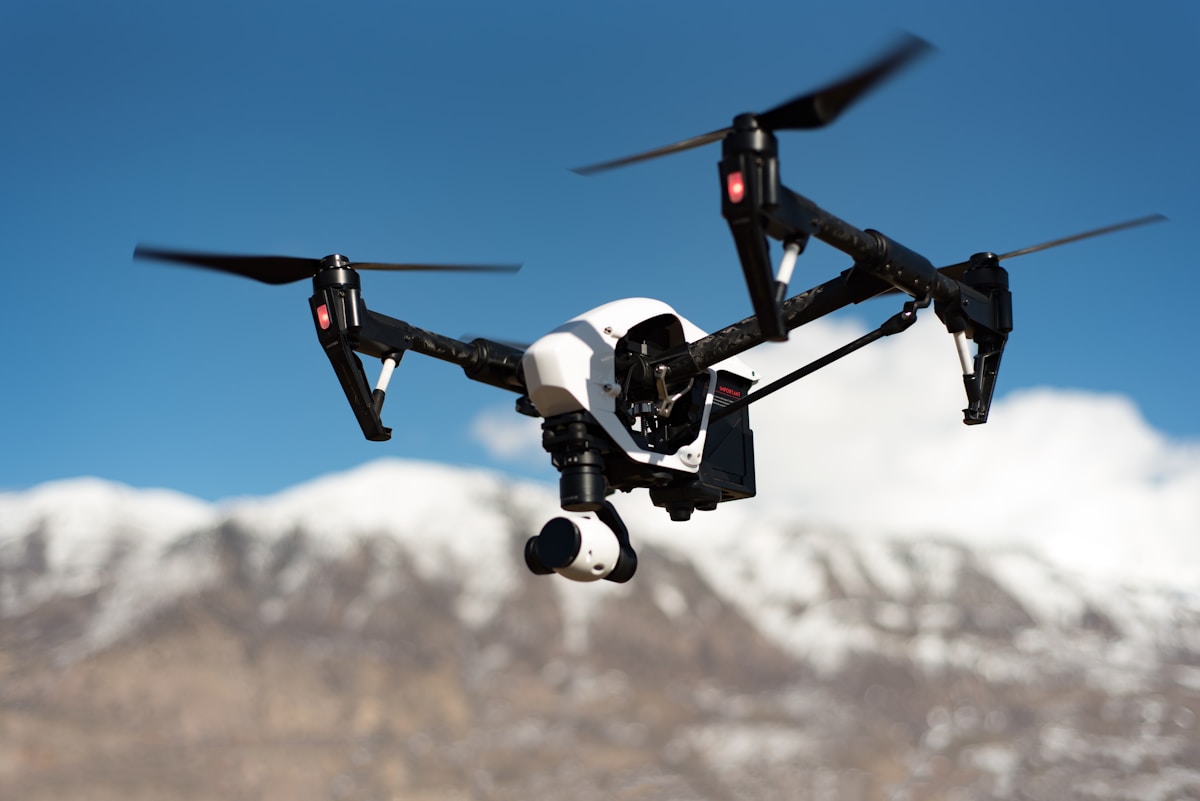
Drone technology is revolutionizing land surveying. Traditional methods involve extensive ground work, often requiring days or weeks to complete. Drones, or Unmanned Aerial Vehicles (UAVs), streamline this process, capturing detailed data in a fraction of the time. They are equipped with high-resolution cameras, GPS, and other sensors, making them ideal for mapping and surveying large areas.
History of Land Surveying
Land surveying has a long history. Early civilizations used basic tools like chains and compass. As technology advanced, so did the tools. Theodolites and Electronic Distance Measurement (EDM) devices improved accuracy. Nowadays, Global Positioning System (GPS) and Geographic Information System (GIS) are standard. Drones represent the latest leap forward.
How Drones Work in Surveying
Drones operate with a combination of hardware and software. The UAV is the primary hardware, carrying cameras and sensors. These cameras capture aerial images and videos. Sensors gather other types of data like elevation and temperature. The software processes this data to create maps and 3D models.
Process of Drone Surveying
- Planning the Mission: Surveyors first define the area to be surveyed. They use software to plan the drone’s flight path.
- Capturing Data: The drone flies over the area, capturing images and sensor data. This can include hundreds or thousands of photos.
- Processing Data: Software stitches these photos together to create orthomosaic maps. It also constructs 3D models and extracts topographic information.
- Analyzing Results: Surveyors then analyze the maps and models. They look for features, measure distances, and identify changes in terrain.
Advantages of Drone Surveying
Speed is a significant advantage. Drones can cover large areas quickly. This reduces the time needed for data collection. Safety is another benefit. Drones can survey hazardous or inaccessible areas without putting human lives at risk. Accuracy is also enhanced. High-resolution images and advanced software increase the precision of measurements.
Applications of Drone Surveying
Drone surveying is used in various fields. In construction, it helps in site planning and monitoring progress. Farmers use drones for precision agriculture, assessing crop health and planning irrigation. Environmentalists map ecosystems and monitor changes. Drones assist in disaster management, surveying areas affected by floods or earthquakes.
Construction
Drones provide a bird’s-eye view of construction sites. They help in planning layouts and tracking progress. Surveyors can quickly measure stockpile volumes and assess site conditions. This data is crucial for project management.
Agriculture
Agricultural drones monitor crop health using multispectral imagery. They identify areas needing irrigation or pesticide application. This targeted approach optimizes resource use and increases yields.
Environmental Monitoring
Environmentalists use drones to map forests, wetlands, and other ecosystems. They monitor changes in vegetation and wildlife habitats. This information aids in conservation efforts.
Disaster Management
After natural disasters, drones survey affected areas. They provide real-time data to emergency responders. This helps in planning rescue operations and assessing damage.
Challenges of Drone Surveying
Regulations are a significant challenge. Drones are subject to aviation laws. Operators need to be aware of these regulations. Weather can also impact drone operations. High winds, rain, and snow can affect data collection. Battery life limits flight time, requiring careful mission planning.
Regulatory Environment
Drones must comply with aviation laws in the country of operation. Surveyors need permissions and licenses to fly drones commercially. These regulations ensure safety and privacy.
Weather Conditions
Weather can affect drone performance. High winds can make flying difficult and reduce image quality. Rain and snow can damage equipment. Surveyors need to plan flights for favorable weather conditions.
Battery Life
Drones have limited battery life, often around 20-30 minutes. This restricts the area that can be surveyed in a single flight. Surveyors need to manage battery life carefully and plan for multiple flights if necessary.
Future of Drone Surveying
Technology is constantly evolving. Improvements in battery life, camera resolution, and data processing are expected. Artificial intelligence (AI) and machine learning will enhance data analysis. Autonomous drones could further reduce human intervention, making surveys even more efficient.
Battery Improvements
Research is ongoing to extend drone battery life. Better batteries will enable longer flights and larger survey areas without recharging.
Enhanced Sensors
New sensors are being developed. Higher resolution cameras and advanced lidar sensors will improve data quality. This will lead to more accurate maps and models.
AI and Machine Learning
AI and machine learning will assist in data analysis. They can identify features and patterns in the data that human eyes might miss. This will make surveys more insightful.
Autonomous Drones
Autonomous drones are being developed. These drones can fly predefined routes without human intervention. They can avoid obstacles and adapt to changing conditions. Autonomous drones will further streamline the survey process.
Drones are transforming land surveying. They offer speed, safety, and accuracy, overcoming many limitations of traditional methods. Regulatory challenges and weather conditions are hurdles, but advancements in technology will continue to enhance their capability. The future holds exciting possibilities for drone land surveying.


Stay in the loop
Get the latest light drones updates delivered to your inbox.