Drone Understanding UAS and GPS Inte guidance has gotten complicated with all the outdated regulations and conflicting advice flying around. Here’s what you actually need to know.
Understanding UAS and GPS Integration
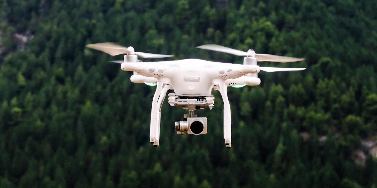
Unmanned Aerial Systems (UAS), commonly known as drones, rely heavily on GPS technology for navigation. The integration of GPS into UAS has transformed industries ranging from agriculture to disaster management. To understand how these systems work together, it’s essential to examine the underlying technologies and their applications.
Basics of UAS
UAS consist of an unmanned aircraft, a ground-based controller, and a system for communication between the two. The unmanned aircraft carries sensors and cameras, among other equipment. These are operated remotely, often from several miles away. The overall system is designed to operate autonomously, semi-autonomously, or under direct human control.
Components of UAS
- Air Vehicle: This is the drone itself equipped with necessary components to complete its missions.
- Control System: Operators need a reliable interface to send commands and receive feedback. Control systems range from handheld devices to more complex computer setups.
- Communication Links: These allow data transfer between the drone and control systems. It includes video feeds, telemetry, and control commands.
Role of GPS in UAS
GPS technology enables precise location tracking and navigation. With GPS, drones can follow specific flight paths, hover in place, and return to predefined home locations. GPS integrations in UAS are crucial for tasks that require accuracy and stability.
GPS Accuracy and Limitations
While GPS provides significant advantages, it is not without limitations. Signal obstruction due to buildings or terrain can affect accuracy. Weather conditions can also impact signal reliability. To mitigate these issues, many UAS are equipped with additional sensors such as inertial measurement units (IMUs) and magnetometers.
Applications of UAS with GPS
Agriculture
In agriculture, UAS with GPS help farmers monitor crops. Precision agriculture involves using drones to collect data on crop health, soil conditions, and irrigation needs. This data allows farmers to optimize their resources and increase yields. Drones equipped with GPS can follow precise routes to ensure comprehensive field coverage.
Infrastructure Inspection
Drones are crucial for inspecting hard-to-reach infrastructures like bridges and wind turbines. They provide real-time data, reducing risks associated with human inspections. Equipped with GPS, drones can navigate accurately to inspect specific locations on structures, capturing high-resolution images and videos for analysis.
Disaster Management
During disasters, drones can quickly assess damage and locate survivors. GPS enables these drones to cover extensive areas and return to specific coordinates when needed. This rapid assessment capability speeds up rescue and relief operations, potentially saving lives.
Environmental Monitoring
Researchers use drones for ecosystem and wildlife monitoring. GPS allows drones to track animals without disturbing them. These systems can also collect data on environmental conditions such as temperature and humidity across various regions, offering valuable insights into climate change effects.
Technical Considerations
Integrating GPS with UAS involves several technical considerations. Developers must ensure the system can process GPS signals efficiently. This includes managing signal latency and ensuring accurate positioning. The UAS must also be capable of using GPS data effectively in real-time applications.
- Data Processing: The onboard processing power must handle vast amounts of GPS data. Simultaneous processing alongside other sensor data is critical for reliable operation.
- Signal Reliability: Multiple GPS sensors or augmentations like Real-Time Kinematic (RTK) GPS may be used to enhance accuracy.
- System Redundancy: In case of GPS failure, other systems must take over. Drones often use IMU data for short-term navigation if GPS fails.
Future Developments
The future of UAS and GPS looks promising with advancements in both fields. Improvements in GPS accuracy, with newer systems providing centimeter-level precision, will further enhance UAS applications. Innovations in artificial intelligence also allow better decision-making based on GPS data, increasing the autonomy of unmanned vehicles.
Emerging technologies like 5G can greatly improve communication between drones and control systems. Enhanced bandwidth allows real-time data processing, offering new possibilities for drone use cases. Researchers are also exploring the potential for integrating alternative navigation systems alongside GPS, paving the way for more resilient and adaptable UAS.
Regulatory frameworks are continuously evolving to integrate drones into civilian airspace safely. New standards and guidelines will undoubtedly shape how UAS operate with GPS technology, maintaining safety and efficiency in increasingly crowded skies.


Stay in the loop
Get the latest light drones updates delivered to your inbox.