Drone Understanding UAS Software guidance has gotten complicated with all the outdated regulations and conflicting advice flying around. Here’s what you actually need to know.
Understanding UAS Software
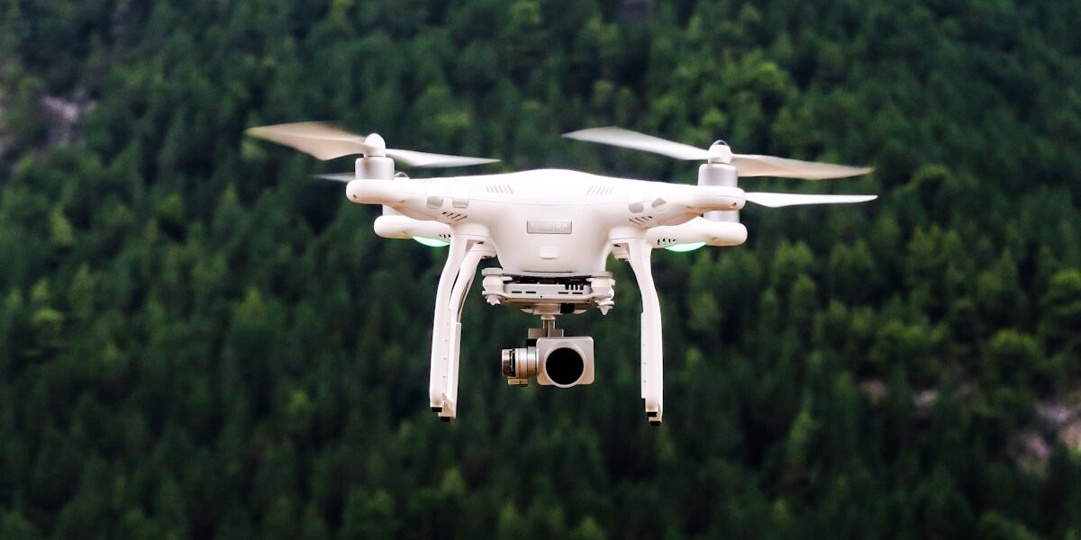
Unmanned Aerial Systems (UAS) have moved beyond military use to serve various industries globally. Central to these systems is UAS software, enabling the effective operation, management, and utilization of drones. At its core, UAS software is a combination of integrated tools that provide functionality ranging from flight control to data analysis.

Components of UAS Software
The software in UAS can be divided into several critical components each serving a distinct purpose. These include flight control systems, mission planning software, and data processing tools.
- Flight Control Systems: This software directly interacts with the drone hardware, controlling its movements and operations. It manages takeoff, landing, and navigation. Open-source projects like ArduPilot and PX4 offer robust flight control software options that support various drone platforms. They facilitate precise adjustments, ensuring the drones maintain stable flight even in challenging environments.
- Mission Planning Software: Aids operators in designing and executing flight missions. This software allows users to set waypoints, create geofences, and simulate routes before actual deployment. Tools like DJI’s Ground Station Pro or UgCS offer extensive functionalities for mission planners and surveyors.
- Data Processing Tools: On UAS operations, data gathering is crucial. Processing software helps convert raw data into actionable insights. Applications like Pix4Dmapper and DroneDeploy turn imagery captured by UAVs into maps, 3D models, and analytical reports.
UAS Software Features
Key features unify various UAS software solutions. These include real-time telemetry, autonomous flight modes, integration capabilities, and safety features.
- Real-Time Telemetry: Essential for monitoring a drone’s in-flight data. It provides information such as altitude, speed, and battery status to the operator.
- Autonomous Flight Modes: Facilitate complex maneuvers without direct human intervention. Common modes include return-to-home, waypoint navigation, and follow-me.
- Integration Capabilities: Allow seamless connection with additional sensors and payloads, expanding the drone’s potential use cases. Compatibility with third-party software enhances versatility, enabling integration with GIS tools or cloud-based platforms.
- Safety Features: Critical for ensuring operator and public safety. These features often include geofencing, obstacle detection, and collision avoidance technologies.
Challenges Facing UAS Software Development
The rapid pace of technological advancement presents certain challenges to UAS software developers. Scalability, regulatory compliance, and security are ongoing concerns.
- Scalability: As UAVs are used increasingly, software must handle larger data sets and more aircraft without performance loss.
- Regulatory Compliance: Software must adhere to evolving aviation regulations. In different regions, varying rules demand adaptable solutions that remain compliant globally.
- Security: Protecting data and systems against unauthorized access and cyber threats is paramount. Implementing robust encryption and security protocols is vital to safeguard operations.
Applications of UAS Software
Drones serve numerous applications across distinct industries, highlighting the versatility and importance of UAS software.
- Agriculture: In precision farming, drones monitor crop health, optimize irrigation, and manage livestock. Software processes multispectral and thermal imagery for detailed analysis.
- Infrastructure Inspection: Drones inspect bridges, power lines, and towers, providing detailed reports and reducing the need for potentially hazardous manual inspections. Flight planning software ensures comprehensive coverage and efficient data collection.
- Emergency Response: In search and rescue missions, drones equipped with thermal imaging can locate individuals efficiently. Software enables rapid deployment and analysis, offering real-time situational awareness.
- Environmental Monitoring: UAS monitor wildlife, assess deforestation levels, and track pollution sources. Advances in software enhance tracking accuracy and data processing speed.
Future Trends in UAS Software
As UAS technology evolves, software is anticipated to develop in several key areas. Machine learning, enhanced automation, and improved data integration are on the horizon.
- Machine Learning: Algorithms increase drones’ capabilities by improving detail recognition and decision-making, such as identifying plant diseases or assessing structural damage.
- Enhanced Automation: Advances will further reduce human intervention needs, driving efficiency in operations like automated surveys and inspections.
- Improved Data Integration: Facilitation of deeper insights by merging drone data with other sources, such as satellite imagery or IoT sensor networks.
The evolution of UAS software is central to unlocking new potentials in various industries and solidifying drones’ role in everyday operations. Continuous improvements address ongoing challenges and broaden the scope of possibilities in which drones can be applied effectively.


Stay in the loop
Get the latest light drones updates delivered to your inbox.