Drone Commercial Drone Mapping guidance has gotten complicated with all the outdated regulations and conflicting advice flying around. Here’s what you actually need to know.
Introduction to Commercial Drone Mapping
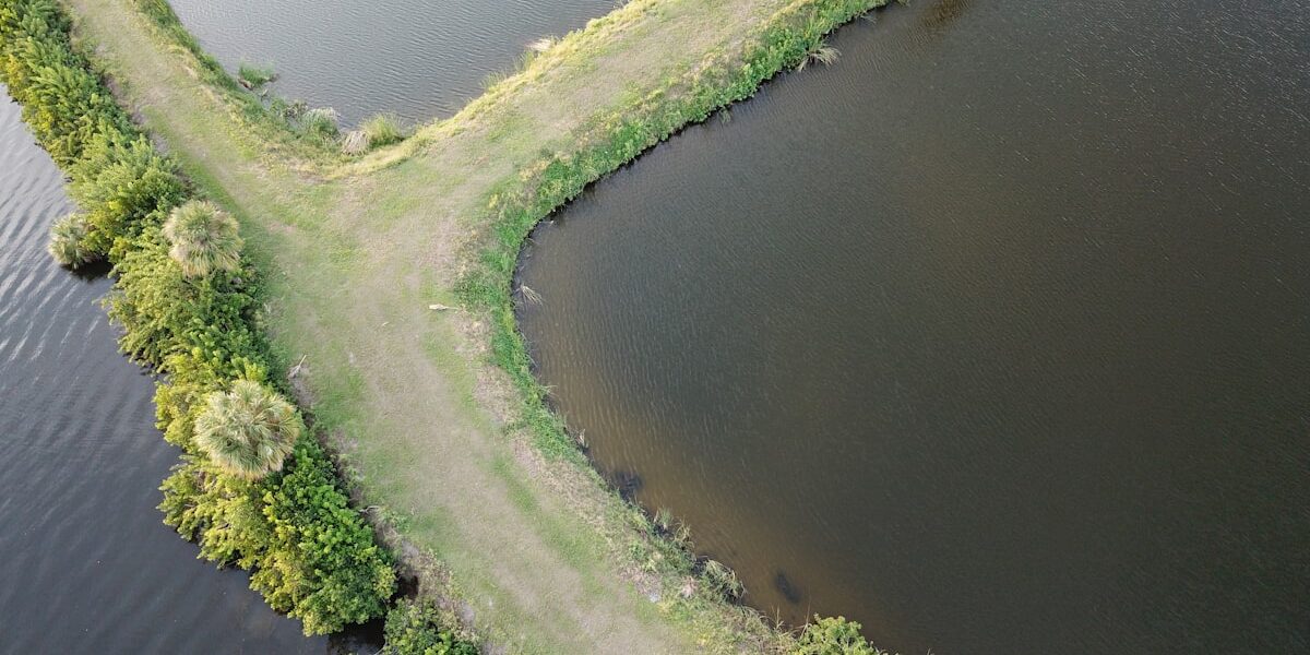
Commercial drone mapping has revolutionized how industries approach surveying, construction monitoring, and land management. What once required expensive manned aircraft or weeks of ground-based surveying can now be accomplished in hours with precision that rivals traditional methods. This comprehensive guide explores the technology, techniques, and practical applications that make drone mapping an essential tool for modern businesses.
The fundamental principle behind drone mapping involves capturing hundreds or thousands of overlapping aerial photographs, then processing these images through specialized software to create accurate two-dimensional maps and three-dimensional models. This process, called photogrammetry, has existed for decades but becomes dramatically more accessible and cost-effective when paired with unmanned aerial systems.
Understanding Photogrammetry Fundamentals
Photogrammetry works by identifying common points across multiple overlapping photographs. Software algorithms analyze these images to determine camera positions and orientations, then triangulate the three-dimensional coordinates of visible features. The resulting point cloud contains millions of individual measurements that can be converted into various deliverable formats.
Image overlap is critical to successful photogrammetry. Most professional mapping missions require 70-80% forward overlap between consecutive images and 60-70% side overlap between adjacent flight lines. This redundancy ensures software can find sufficient common points even when individual images contain obstructions or poor lighting conditions.
Ground sample distance (GSD) describes the real-world size represented by each pixel in your captured imagery. A 1-centimeter GSD means each pixel covers one centimeter on the ground. Lower GSD values produce more detailed maps but require flying at lower altitudes or using higher-resolution cameras, both of which increase flight time and data processing requirements.
Equipment Selection for Mapping Missions
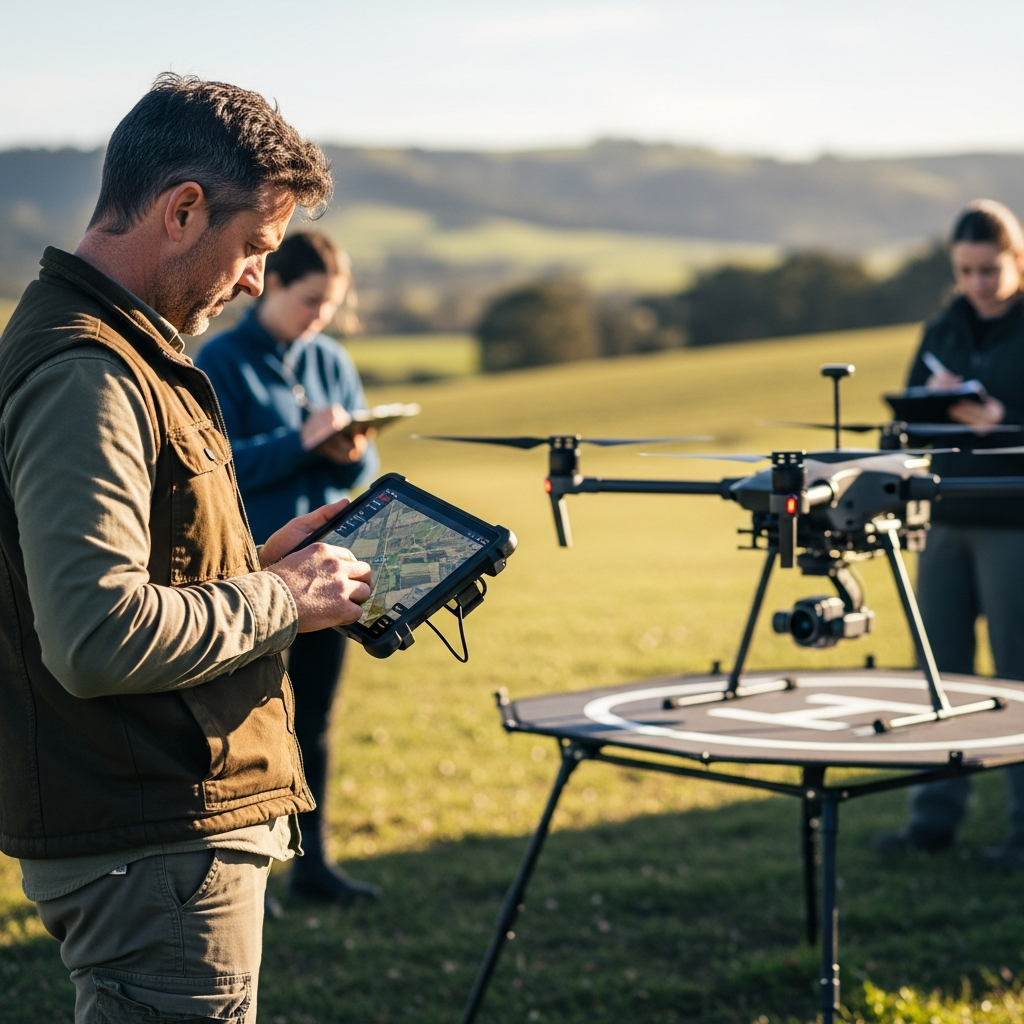
Selecting appropriate equipment begins with understanding your accuracy requirements and typical project scope. Entry-level mapping can be accomplished with consumer drones like the DJI Mavic 3 or Autel EVO II, which offer excellent image quality at accessible price points. These platforms work well for general site documentation, progress monitoring, and applications where sub-foot accuracy is sufficient.
Professional mapping demands move operators toward platforms designed specifically for surveying applications. The DJI Matrice 300 RTK paired with the Zenmuse P1 camera represents the industry standard for high-accuracy photogrammetry. Real-time kinematic (RTK) positioning allows this system to achieve centimeter-level accuracy without ground control points, dramatically reducing field work requirements.
Fixed-wing drones offer advantages for large-area mapping projects. Platforms like the senseFly eBee X or WingtraOne can cover hundreds of acres in a single flight, making them ideal for agricultural monitoring, mining operations, and large construction sites. Their efficient aerodynamic design translates battery capacity into maximum coverage area.
Flight Planning Considerations
Effective flight planning ensures complete coverage while optimizing for efficiency and data quality. Modern flight planning applications like DJI Terra, Pix4Dcapture, and DroneDeploy automate many decisions but understanding the underlying principles helps operators make informed adjustments for specific project requirements.
Altitude selection involves balancing coverage efficiency against resolution requirements. Higher altitudes cover more ground per image but produce larger GSD values. For construction monitoring, 200-300 feet AGL typically provides appropriate detail while maintaining reasonable flight times. Precision surveying may require altitudes below 150 feet to achieve sub-centimeter GSD.
Flight speed affects image quality through motion blur. Slower speeds produce sharper images but extend mission duration and battery consumption. Most mapping flights operate between 15-25 mph, adjusting based on lighting conditions and altitude. Overcast days allow faster flight speeds since consistent lighting reduces exposure variation between frames.
Consider sun angle when scheduling mapping missions. Early morning or late afternoon flights produce long shadows that interfere with photogrammetric processing. Midday flights minimize shadows but may create harsh lighting conditions. The ideal window typically falls between 10 AM and 2 PM when sun angles balance shadow minimization against lighting quality.
Ground Control Points and Accuracy
Ground control points (GCPs) are precisely surveyed locations visible in aerial imagery that allow photogrammetric software to georeference outputs to real-world coordinate systems. Traditional mapping workflows require 5-10 GCPs distributed throughout the project area, each measured using survey-grade GPS equipment.
GCP placement strategy significantly impacts final accuracy. Points should be distributed across the project area, including corners and edges where geometric accuracy tends to be weakest. Avoid placing GCPs only in the center of your mapping area, as this leaves peripheral regions without direct accuracy verification.
Target design affects how reliably software identifies control points. High-contrast checkerboard patterns or specialized photogrammetry targets measuring 12-18 inches work best for most mapping altitudes. The target must be clearly visible and distinguishable from surrounding ground cover in processed imagery.
RTK and PPK positioning systems reduce or eliminate GCP requirements by providing centimeter-accurate camera positions during flight. RTK systems require continuous base station communication, while PPK workflows post-process positioning data after the flight. Both approaches dramatically reduce field work while maintaining survey-grade accuracy.
Data Processing Workflows
Processing captured imagery into deliverable products requires specialized software and significant computational resources. Leading solutions include Pix4Dmapper, DroneDeploy, and Agisoft Metashape, each offering different balances of automation, flexibility, and processing speed.
Initial processing alignment matches features across images to determine camera positions and orientations. This computationally intensive step benefits from high-performance workstations with modern GPUs. Processing 500 images might take 2-4 hours on a standard laptop but complete in under an hour on an optimized workstation.
Dense point cloud generation creates detailed three-dimensional models from aligned imagery. Point density depends on image resolution and processing settings, typically ranging from dozens to hundreds of points per square meter. Higher density produces more detailed models but increases processing time and storage requirements.
Final products include orthomosaic maps (geometrically corrected aerial photographs), digital surface models (elevation data including buildings and vegetation), digital terrain models (bare-earth elevation), and textured 3D meshes. Most projects require multiple deliverable types to support different analysis workflows.
Industry Applications
Construction companies use drone mapping for progress monitoring, earthwork calculations, and as-built documentation. Weekly or monthly flights create visual records of site development while volumetric analysis tracks material quantities for billing verification and inventory management.
Agricultural operations apply mapping for crop health assessment, drainage analysis, and precision application planning. Multispectral sensors reveal vegetation stress invisible to standard cameras, enabling targeted interventions that reduce input costs while improving yields.
Mining and aggregate industries depend on drone mapping for stockpile measurement, site planning, and regulatory compliance documentation. Volumetric accuracy within 1-2% rivals traditional survey methods at a fraction of the time and cost.
Insurance and real estate professionals use drone mapping for property assessment, damage documentation, and marketing materials. The combination of overview imagery and detailed measurements supports claim processing and property valuation workflows.
Regulatory Considerations
Commercial drone mapping requires appropriate pilot certification and operational authorization. In the United States, Part 107 certification allows commercial operations with certain restrictions. Mapping missions frequently encounter additional requirements including airspace authorization, property owner permissions, and data handling regulations.
Controlled airspace around airports requires LAANC authorization or manual approval before flying. Most mapping software integrates airspace data to identify restricted areas during flight planning. Always verify current airspace restrictions before conducting mapping missions.
Privacy considerations affect how mapping data can be collected, stored, and shared. High-resolution imagery may capture recognizable individuals or private property details. Develop data handling policies that address privacy concerns while meeting project documentation requirements.
Quality Assurance Practices
Successful mapping programs implement systematic quality assurance throughout the workflow. Pre-flight checks verify equipment condition, battery status, and memory card capacity. Flight monitoring confirms proper image capture and positioning system performance.
Post-processing validation compares deliverable accuracy against independent measurements. Check points surveyed but not used in processing provide objective accuracy assessment. Root mean square error (RMSE) quantifies typical positional deviation between mapped features and their true locations.
Documentation preserves project details for future reference and quality verification. Record flight parameters, environmental conditions, processing settings, and accuracy assessments for each mapping project. This documentation supports deliverable validation and enables workflow optimization over time.
Conclusion
Commercial drone mapping combines accessible technology with powerful analysis capabilities to deliver actionable geospatial information across diverse industries. Success requires understanding photogrammetric principles, selecting appropriate equipment, implementing efficient workflows, and maintaining rigorous quality standards. As technology continues advancing, drone mapping will become increasingly accurate, efficient, and essential for organizations requiring current, detailed spatial information about their operations and assets.


Stay in the loop
Get the latest light drones updates delivered to your inbox.