Drone Drone Services guidance has gotten complicated with all the outdated regulations and conflicting advice flying around. Here’s what you actually need to know.
Drone Services for Disaster Response
Drone Services for Disaster Response
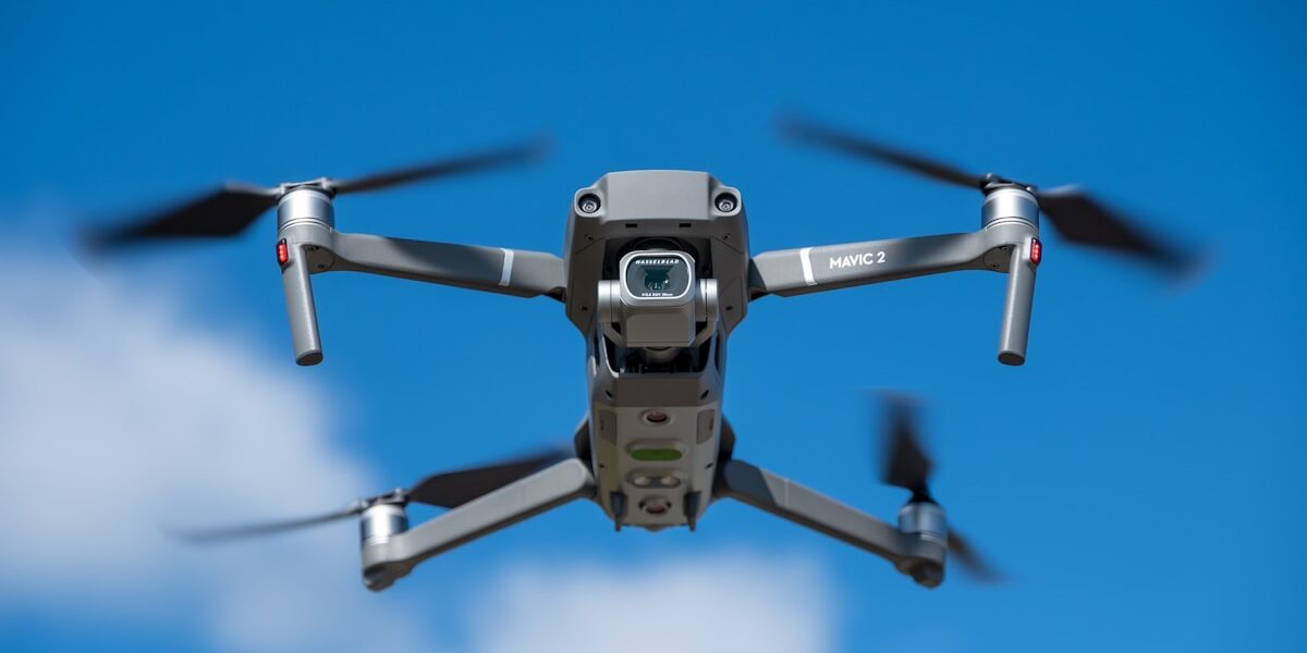
Unmanned Aerial Vehicles (UAVs), commonly known as drones, provide invaluable assistance during disasters. Drones offer rapid situational awareness, enabling emergency responders to assess large areas quickly and efficiently. They help in locating survivors, assessing damage, and delivering essential supplies.

Quick Deployment and Real-Time Data
Drones can be deployed rapidly compared to traditional methods. They can be airborne within minutes, providing real-time data to responders. This speed is crucial during disasters, where every second counts. The live feed from drones can help in making informed decisions, coordinating rescue efforts, and prioritizing areas that need immediate attention.
Surveillance and Assessment
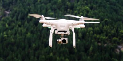
Drones equipped with high-resolution cameras and sensors can capture detailed images and videos of affected areas. This aerial perspective helps in understanding the extent of damage and identifying the most impacted zones. Thermal cameras on drones can detect heat signatures from people trapped under debris, increasing the chances of successful rescues.
Search and Rescue Operations
In disaster scenarios, locating survivors is a priority. Drones can cover expansive areas quickly, locating survivors using thermal imaging and other advanced sensors. These capabilities are especially useful in conditions where visibility is poor or terrain is challenging. Drones can relay the precise location of survivors to rescue teams, expediting the rescue process.
Delivery of Supplies
Drones can transport medical supplies, food, and water to areas that are inaccessible by traditional means. During disasters, roads might be blocked or damaged, making ground transportation difficult. Drones can bypass these obstacles and ensure that critical supplies reach those in need. This capability can be life-saving in the immediate aftermath of a disaster.
Damage Assessment and Recovery Planning
Post-disaster, assessing the damage is vital for recovery planning. Drones can survey large areas, providing high-resolution imagery and data that can be analyzed to understand the scale of destruction. This information helps in planning the recovery process, allocating resources effectively, and rebuilding efforts.
Mapping and Data Collection
Drones can create detailed maps of disaster-affected areas. These maps are crucial for coordinating response efforts and planning reconstruction. High-resolution aerial imagery and 3D maps generated by drones provide accurate data for decision-makers. Drones can also collect environmental data, monitoring changes and assessing risks for future disasters.
Cost-Effective Solutions
Traditional methods of disaster response, such as helicopters or manned aircraft, are costly and require significant logistical support. Drones offer a cost-effective alternative. They are cheaper to operate, require less manpower, and can be deployed quickly. This cost-efficiency allows for better allocation of resources during disaster response.
Challenges and Limitations
Despite their advantages, drones face challenges in disaster response. Battery life limits their operation time, requiring frequent returns for recharging or battery swaps. Weather conditions, such as high winds and heavy rain, can impede their functionality. Regulatory restrictions may also impact the deployment of drones in certain areas. Effective disaster response using drones requires planning and overcoming these hurdles.
Integration with Other Technologies
Combining drones with other technologies enhances disaster response capabilities. For instance, integrating drone data with Geographic Information Systems (GIS) allows for better analysis and decision-making. Artificial Intelligence (AI) can process drone data to identify patterns and predict risks. Collaboration between drones and ground robots can provide a comprehensive approach to search and rescue operations.
Examples of Drone Usage in Disaster Response
Drones have been utilized in various disaster scenarios globally. During the hurricanes in the U.S., drones were used to survey damage, locate stranded individuals, and deliver supplies. In earthquake-affected regions, drones have provided critical aerial views of collapsed structures, assisting rescue teams. The use of drones in the recent wildfires added significant value by monitoring fire spread and directing firefighting efforts.
Training and Preparedness
Effective use of drones in disaster response requires trained operators. Emergency responders need to be skilled in operating drones, interpreting data, and making swift decisions based on drone imagery. Regular training sessions and drills involving drones can enhance preparedness. Establishing protocols and guidelines for drone usage in emergencies ensures a coordinated and efficient response.
The Future of Drones in Disaster Response
The role of drones in disaster response is likely to expand. Advances in drone technology, such as longer flight times, improved sensors, and autonomous operation, will enhance their capabilities. Integration with other emerging technologies will create more robust and responsive disaster management systems. As regulations evolve, the deployment of drones in disaster scenarios will become more streamlined and widespread.


Stay in the loop
Get the latest light drones updates delivered to your inbox.