Drone Lidar vs Radar guidance has gotten complicated with all the outdated regulations and conflicting advice flying around. Here’s what you actually need to know.
Lidar vs Radar
Lidar vs Radar
When it comes to sensing technology, lidar and radar are two of the most talked-about systems. Both have their unique strengths and applications. Understanding the differences between them is essential for making informed decisions in various industries.
How Lidar Works
Lidar stands for Light Detection and Ranging. It uses laser pulses to measure distances to a target. The system emits laser beams, which bounce off objects and return to the sensor. By calculating the time it takes for the light to return, lidar can determine the distance to the object with high precision.
Lidar operates mainly in the near-infrared spectrum. It is capable of generating high-resolution, three-dimensional maps. These maps provide detailed information about the surroundings, making lidar suitable for applications requiring finely detailed spatial data.
How Radar Works
Radar, or Radio Detection and Ranging, uses radio waves to detect and locate objects. It sends out radio waves that reflect off objects and return to the receiver. By measuring the time delay and frequency shift of the returned waves, radar can estimate the distance, speed, and other characteristics of the objects.
Radar can operate in various frequency bands, including microwaves. It is less sensitive to weather conditions such as fog, rain, and dust. Because of this, radar is often preferred for applications where environmental factors could impede performance.
Technological Differences
- Detection Range: Lidar typically has a shorter range than radar. Radar can detect objects at much longer distances, sometimes up to several hundred kilometers.
- Resolution: Lidar offers higher resolution than radar. This means lidar can detect smaller objects and provide more detailed images.
- Environmental Sensitivity: Lidar’s performance can degrade in adverse weather conditions. Radar, on the other hand, usually works well regardless of weather.
- Cost: Lidar systems are often more expensive than radar systems. The cost can be a significant factor in deciding which technology to use.
- Speed Measurement: Radar can measure the speed of moving objects more effectively than lidar. This makes radar ideal for applications like speed monitoring in traffic enforcement.
Applications of Lidar
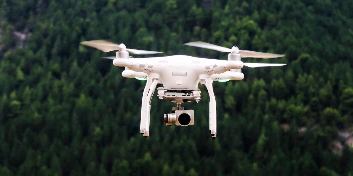
Lidar is extensively used in autonomous vehicles. It helps these vehicles navigate by creating real-time 3D maps of their environment. These maps enable vehicles to detect obstacles, pedestrians, and other vehicles, ensuring safe navigation.
Another application of lidar is in topographical mapping. Surveyors use lidar to create highly accurate maps of the Earth’s surface. This data is valuable for urban planning, agriculture, and environmental monitoring.
In the field of archaeology, lidar has proven to be revolutionary. It allows archaeologists to uncover structures and landscapes hidden beneath dense vegetation without excavation. This non-invasive method has led to significant discoveries in recent years.
Applications of Radar
Radar is crucial for weather forecasting. It helps meteorologists monitor and predict weather patterns by tracking precipitation, wind speed, and storms. This information is vital for early warning systems and public safety.
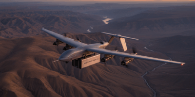
In aviation, radar plays a key role in air traffic control. It allows controllers to track the position and movement of aircraft, ensuring safe take-offs, landings, and flight paths. Radar is also used in aircraft to detect other planes and avoid collisions.
Maritime navigation relies heavily on radar. Ships use radar to detect other vessels, navigational hazards, and landmasses, even in poor visibility conditions. This enhances safety at sea, especially in busy shipping lanes.
Challenges and Limitations
Both lidar and radar come with their own set of challenges. Lidar’s susceptibility to weather conditions can limit its effectiveness in certain environments. Dust, fog, and heavy rain can significantly reduce its accuracy and range.
Radar, while less affected by weather, struggles with resolution. It may not accurately detect small objects or provide detailed imagery. This can be a limitation for applications requiring high precision.
The cost of lidar can be prohibitive for some projects. Though prices have been decreasing, it remains an expensive technology. This is especially true for large-scale applications where multiple lidar units are needed.
Integrating lidar and radar into existing systems can also pose challenges. Compatibility issues, data processing requirements, and the need for specialized knowledge can be barriers to successful implementation.
Recent Advances
Recent advancements in lidar technology are addressing some of its limitations. Researchers are developing lidar systems that can operate effectively in adverse weather. These systems use different wavelengths and advanced algorithms to improve performance.
Similarly, radar technology is evolving. There are now radars capable of higher resolution and accuracy. Innovations such as frequency-modulated continuous wave (FMCW) radar are enhancing the capabilities of traditional radar systems.
The trend towards sensor fusion is also noteworthy. Combining lidar and radar data can compensate for the shortcomings of each system. Fusion leads to more robust and reliable sensing solutions, particularly in autonomous vehicles and advanced driver-assistance systems (ADAS).
Choosing the Right Technology
Selecting between lidar and radar depends on the specific needs of a project. For applications requiring long-range detection and resilience to weather conditions, radar is often the better choice. On the other hand, lidar may be preferred for tasks demanding high-resolution imaging and detailed spatial data.
In some cases, using both technologies in tandem might be the best solution. This approach leverages the strengths of each system while mitigating their weaknesses. It enables more comprehensive data collection and improved overall performance.
Considerations such as cost, integration complexity, and the application environment also play crucial roles in this decision. Each project is unique, and a thorough evaluation of requirements and constraints is necessary to choose the right technology.
Future Prospects
The future of lidar and radar technologies looks promising. Continued research and development are likely to yield further improvements in performance, cost-effectiveness, and integration capabilities. Emerging technologies such as quantum sensing and AI-driven data analysis may also enhance the functionality of these systems.
The growing demand for autonomous systems and smart infrastructure is driving innovation in both lidar and radar. As these technologies advance, they will play increasingly vital roles in shaping the connected world of tomorrow.


Stay in the loop
Get the latest light drones updates delivered to your inbox.