
Drone Volume Measurement with Drones guidance has gotten complicated with all the outdated regulations and conflicting advice flying around. Here’s what you actually need to know.
Volume Measurement with Drones
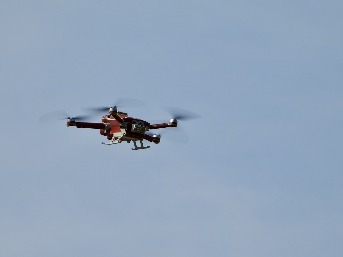
Drones have become a valuable tool in various fields. One of their most significant uses is in volume measurement. This technology offers precision, speed, and efficiency. Drones provide a new perspective for measuring volumes that was difficult or time-consuming before.
How Drones Measure Volume
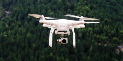
Drones are equipped with advanced sensors and cameras. They capture detailed images from multiple angles. These images are processed using specialized software. The software creates a 3D model of the area or object in question.
The 3D model helps in calculating the volume accurately. Traditional methods like ground-based surveys or manual measurements are prone to errors. Drones reduce human error significantly. The data collected by drones is also more comprehensive.
Steps in the Measurement Process
The process begins with planning the flight path of the drone. The area that needs measurement is mapped out. Next, the drone captures high-resolution images. These images are then uploaded into photogrammetry software.
The software stitches the images together. It creates a detailed and accurate 3D model. Advanced algorithms calculate the volume based on this model.
Applications Across Industries
Construction
Construction sites benefit greatly from drone volume measurement. Determining the amount of materials like gravel, sand, and soil is essential. Drones provide quick and accurate measurements. This helps in resource management and cost estimation.
Mining
Mining operations involve moving large quantities of materials. Accurate volume measurements are crucial. Drones offer a safer alternative to manual measurements. They provide precise data in a fraction of the time.
Agriculture
Agricultural applications include measuring stockpiles of crops and other materials. Drones help farmers monitor and manage their resources effectively. They offer a clear view of storage piles and help in planning logistics.
Landfill Management
Landfills require careful monitoring to avoid overfilling. Drones offer an efficient way to measure landfill volumes. They help in maintaining compliance with regulations. Accurate volume data helps in planning future expansions.
Advantages of Using Drones for Volume Measurement
Drones provide data quickly. Traditional methods often take days or weeks. Drones can complete the task in hours. This speed translates into cost savings. Fewer resources are needed, and projects stay on schedule.
Drones also access hard-to-reach areas. Manual measurement might be impossible or unsafe. Drones offer a safer alternative. They fly over difficult terrain and gather data without putting anyone at risk.
The accuracy of drones is another significant advantage. Errors in measurement can lead to costly mistakes. Drones provide precise data, reducing the margin of error. This accuracy is essential in industries where resource management is critical.
Technical Considerations
The type of drone used matters. Fixed-wing drones cover larger areas but may lack detail. Rotary-wing drones, like quadcopters, provide higher detail but cover smaller areas. The choice depends on the project’s specific needs.
High-resolution cameras are essential. They ensure the images captured are detailed enough for accurate 3D models. Multi-spectral cameras can provide additional data, helping in environmental assessments.
Software is another critical component. Photogrammetry software processes the images. It creates the 3D model and calculates the volume. Software quality affects the accuracy of the measurements.
Challenges and Limitations
Weather conditions can affect drone operations. High winds or rain can disrupt flights. These conditions can lead to delays in data collection.
Regulations add another layer of complexity. Different countries have varying rules on drone usage. Operators must adhere to these regulations to avoid legal issues. This includes no-fly zones and altitude restrictions.
Drones have limited battery life. Longer flights over large areas may require multiple trips. This can increase the time needed to complete the measurements.
Future Trends in Drone Volume Measurement
Advancements in technology are making drones even more effective. Improved battery life will allow for longer flights. Enhanced sensors will provide even more accurate data. Software is also continually improving, offering better models and faster processing times.
Artificial intelligence is becoming a part of drone technology. AI can help in analyzing data faster and more accurately. It can identify patterns and anomalies that may require attention.
Automation is another trend. Fully automated drones can operate without human intervention. They follow pre-programmed flight paths and complete tasks autonomously. This reduces the need for skilled operators and makes the process more efficient.
Conclusion
Volume measurement with drones is a significant advancement. It offers speed, accuracy, and safety. Various industries benefit from this technology. As technology continues to evolve, the applications and benefits will only increase. Drones are shaping the future of volume measurement.

Stay in the loop
Get the latest light drones updates delivered to your inbox.