Drone Drone Imaging guidance has gotten complicated with all the outdated regulations and conflicting advice flying around. Here’s what you actually need to know.
Drone Imaging: A Comprehensive Overview
Drones have revolutionized various industries by offering unique perspectives and capabilities through imaging technology. These unmanned aerial vehicles (UAVs) are now commonly used for capturing high-resolution images and videos from vantage points previously inaccessible or expensive to reach. This article delves into the technology behind drone imaging, its applications, benefits, and future potential.
Technology Behind Drone Imaging
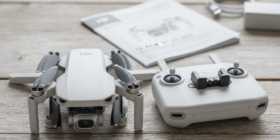
Drones equipped with imaging technology use advanced cameras, sensors, and sometimes even LiDAR (Light Detection and Ranging) systems to capture detailed visuals. These drones vary from simple models with basic cameras to sophisticated ones featuring thermal imaging and multispectral sensors.
Key components in drone imaging technology include:
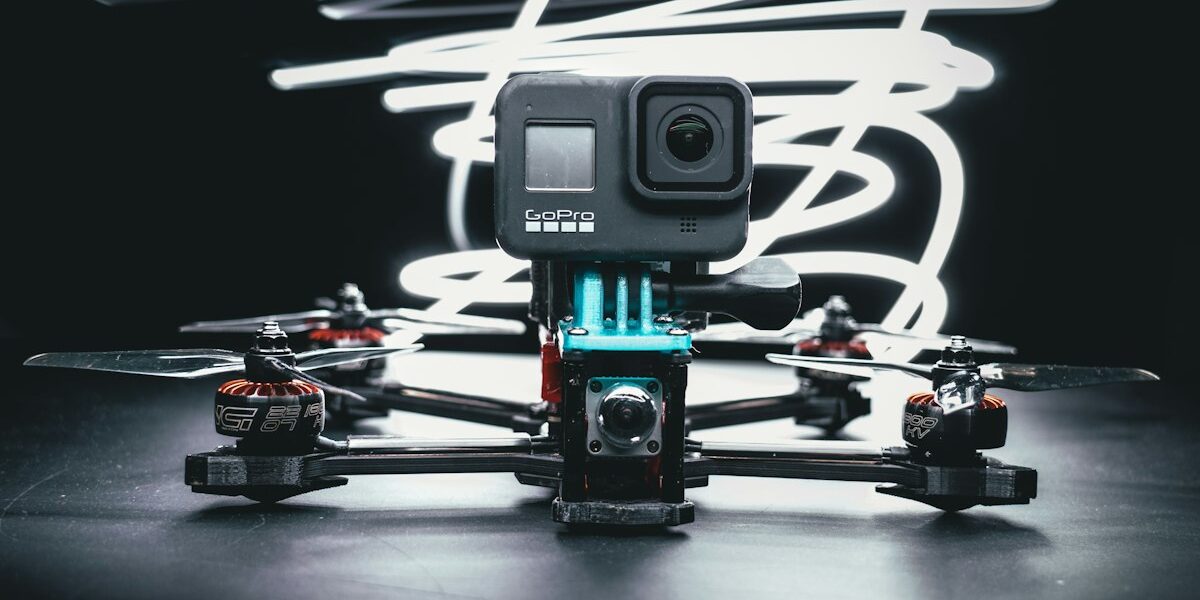
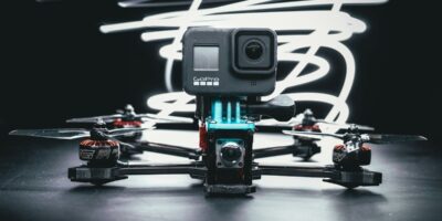
- Cameras: Most drones have cameras capable of capturing high-resolution photos and videos. Advanced models might carry 4K or even 8K cameras, providing crisp and clear images.
- Gimbals: These devices stabilize the camera, ensuring steady shots even when the drone is in motion or facing challenging weather conditions.
- Sensors: Besides optical cameras, drones may include infrared, thermal, and multispectral sensors to capture data beyond the human visible spectrum.
- GPS and Navigation Systems: These ensure the drone can fly predetermined routes or hover over specific spots, crucial for consistent and repeatable imaging.
Applications of Drone Imaging
Agriculture: Farmers use drones to monitor crop health, assess irrigation systems, and evaluate soil conditions. Multispectral and thermal imaging can detect plant stress, pest infestations, and nutrient deficiencies, helping to improve yield and reduce input costs.
Real Estate: Real estate professionals leverage drones to create compelling property listings. High-resolution aerial images and videos showcase properties from unique angles, offering potential buyers a better understanding of the location and surroundings.
Construction and Infrastructure: Drones provide up-to-date images of construction sites, helping to monitor progress, identify safety issues, and manage assets. They are also used for inspecting infrastructure like bridges, roads, and power lines, reducing the need for risky manual inspections.
Environmental Monitoring: Researchers and environmentalists use drones to collect data on wildlife, map ecosystems, and monitor environmental changes. Drones can access remote areas with minimal disturbance, making them ideal for sensitive ecological studies.
Emergency Response: In disaster scenarios, drones offer a quick assessment of the situation. They help locate survivors, assess damages, and deliver crucial supplies. Thermal imaging drones are particularly useful in search and rescue operations, as they can detect body heat through smoke, fog, or debris.
Benefits of Drone Imaging
Drones offer unparalleled flexibility and efficiency compared to traditional imaging methods. They save time and resources by covering large areas quickly and providing high-resolution data that can be analyzed immediately. The ability to reach difficult or dangerous locations ensures safer operations, particularly for inspections and emergency response.
The cost-effectiveness of drones is another significant advantage. They eliminate the need for expensive equipment like helicopters or cranes, making high-quality imaging accessible to businesses of all sizes. Furthermore, advanced automation and intelligent flight paths reduce human error, enhancing the accuracy and reliability of the collected data.
Challenges and Considerations
While drone imaging offers numerous benefits, it also presents some challenges. Regulatory restrictions on drone flights can limit where and when drones can be used. Operators must ensure compliance with local laws and obtain necessary permits, which can be a complex process.
Technical limitations like battery life and weather conditions also impact drone operations. Drones have limited flight times, usually between 20 to 30 minutes per battery. Harsh weather, such as strong winds or heavy rain, can ground drones or affect image quality. Ensuring safe and efficient flights often requires thorough planning and weather monitoring.
Privacy concerns are another consideration. Drones can capture detailed images of private properties, leading to potential conflicts. Operators must respect privacy laws and consider ethical implications when planning their flights.
Future Potential of Drone Imaging
Continued advancements in drone technology promise to further enhance imaging capabilities. Future drones may incorporate artificial intelligence to automate tasks like image analysis or flight navigation. Improved battery technology could extend flight times, while advanced sensors may offer better resolution and new imaging modalities.
Integration with other technologies, such as augmented reality (AR) and virtual reality (VR), could provide immersive experiences and new ways to interact with drone-captured data. For example, real estate clients might take virtual tours of properties, or engineers could use AR overlays to identify issues in infrastructure inspections.
The potential for drone swarms represents another exciting frontier. Multiple drones working in concert could cover vast areas or complex structures more efficiently, offering detailed and comprehensive data. Such innovations could revolutionize industries ranging from agriculture to emergency response, making drone imaging an even more invaluable tool.
Conclusion
Drones have transformed imaging by providing new perspectives, enhancing efficiency, and enabling safer operations. Despite regulatory and technical challenges, their benefits are undeniable. As technology advances, the applications and capabilities of drone imaging will only expand, offering exciting opportunities across various sectors.

Stay in the loop
Get the latest light drones updates delivered to your inbox.