Drone Lidar in Archaeology guidance has gotten complicated with all the outdated regulations and conflicting advice flying around. Here’s what you actually need to know.
Lidar in Archaeology
Lidar, short for Light Detection and Ranging, is a remote sensing technology that measures distance by illuminating a target with laser light and analyzing the reflected light. This technology has revolutionized many fields, including archaeology.
How Lidar Works
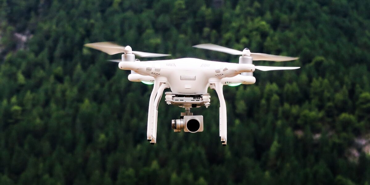
Lidar systems consist of a laser, a scanner, and a specialized GPS receiver. The laser sends out light pulses, which bounce off objects and return to the sensor. The time it takes for the light to return is measured and used to calculate distances. The scanner collects this data and generates a 3D map of the area.
Advantages of Lidar in Archaeology
Lidar offers several benefits for archaeological research. It can penetrate dense forest canopies, allowing researchers to discover sites covered by vegetation. This was previously impossible with traditional survey methods.
- Precision: Lidar provides highly accurate and detailed topographic maps, which help archaeologists understand site layouts better.
- Speed: Large areas can be surveyed quickly, making it efficient for covering extensive archaeological sites.
- Non-Invasive: Lidar scans the ground without disturbing the site, preserving the integrity of archaeological contexts.
Applications in Archaeology
Lidar has multiple applications in archaeology. It helps in discovering new sites, mapping existing ones, and understanding landscapes and human impact over time.
Site Discovery
Lidar has uncovered many archaeological sites that were previously unknown. In dense forests, such as the Guatemalan jungle, Lidar has revealed ancient Mayan cities hidden beneath the trees. The technology has identified unknown structures, causeways, and agricultural terraces, providing insights into ancient civilizations.
Mapping and Documentation
Lidar is invaluable in creating detailed maps of archaeological sites. These maps help in planning excavations and understanding site layouts. For example, Lidar surveys have mapped the extensive network of Inca roads in South America, revealing the scale and sophistication of their infrastructure.
Landscape Analysis
Lidar allows archaeologists to study entire landscapes rather than individual sites. It helps in understanding how ancient people interacted with their environment. For instance, Lidar has been used to analyze terraced fields in southeast Asia, offering insights into ancient agricultural practices and water management systems.
Case Studies
The Maya Civilization
In Guatemala, Lidar surveys have transformed our understanding of the Maya civilization. Researchers discovered massive urban centers, defensive structures, and a network of causeways. These findings show a level of complexity and population density that was previously underestimated.
Angkor Wat
In Cambodia, Lidar mapping around Angkor Wat revealed a sprawling urban network surrounding the famous temples. It identified previously unknown temples, reservoirs, and residential areas, providing new insights into the Khmer Empire’s urban planning and water management.
Stonehenge Landscape
In England, Lidar has been used to study the landscape surrounding Stonehenge. It revealed ancient burial mounds, hidden ditches, and other prehistoric features, offering a better understanding of the area’s usage over millennia.
Future of Lidar in Archaeology
The future looks promising for Lidar in archaeology. Advances in technology will improve data resolution and processing speeds, making Lidar even more effective. As costs decrease, more archaeological projects will be able to use this technology.
There is an increasing interest in combining Lidar data with other remote sensing technologies such as ground-penetrating radar, multispectral imaging, and photogrammetry. This integration will provide a more comprehensive understanding of archaeological sites and landscapes.
Citizen science projects are also gaining traction. Platforms collecting Lidar data from various sources encourage public participation. These initiatives democratize archaeological research and uncover new sites through crowd-sourced analysis.


Stay in the loop
Get the latest light drones updates delivered to your inbox.