
Drone Understanding Digital Surface guidance has gotten complicated with all the outdated regulations and conflicting advice flying around. Here’s what you actually need to know.
Understanding Digital Surface Models (DSMs)
Understanding Digital Surface Models (DSMs)
Digital Surface Models (DSMs) represent the elevations of the highest natural and built features on the Earth’s surface. These models capture things like buildings, trees, and other structures. DSMs are useful in a variety of fields including urban planning, forestry, and telecommunications.
What is a Digital Surface Model?
Unlike Digital Elevation Models (DEMs), which depict the bare earth’s surface, DSMs show elevations including buildings and vegetation. They are created using remote sensing technology, such as LiDAR (Light Detection and Ranging) or photogrammetry from aerial imagery. DSMs help in analyzing spatial phenomena and visualizing the landscape in three dimensions.
Applications of DSMs
Urban Planning: Planners use DSMs to assess building heights and urban density. They analyze potential impacts of new developments on existing structures and landscapes. DSMs offer detailed topographic data that supports efficient land use planning and zoning.
Forestry: In forestry, DSMs help in measuring tree heights and forest canopy cover. They aid in estimating biomass and carbon storage. Foresters can also monitor changes in forest structure over time by comparing DSMs from different years.
Telecommunications: Improving wireless signal coverage often depends on the terrain and surface features. DSMs help in locating cell towers to avoid obstructions and ensure optimal signal distribution.
Flood Modeling: DSMs contribute valuable data for hydrological modeling. They assist in predicting flood extents and identifying vulnerable areas by showing how water might flow over the surface structures.
Environmental Studies: Scientists rely on DSMs in environmental monitoring and analysis. They examine erosion, landslide risks, and habitat mapping. DSMs provide critical information for natural resource management and conservation efforts.
How DSMs Are Created
DSMs are generated through various remote sensing techniques. LiDAR is one of the most common methods. It involves emitting laser pulses towards the ground and measuring the time it takes for the reflections to return. These reflections produce high-resolution data points that form the DSM.
Photogrammetry, another technique, uses aerial or satellite images to extract 3D information. By analyzing overlapping images taken from different angles, software algorithms reconstruct the surface features, creating a DSM.
Radar data can also be used to create DSMs. Synthetic Aperture Radar (SAR) captures ground surface information in all weather conditions, providing valuable data for DSM generation.
Accuracy and Resolution
The accuracy and resolution of a DSM depend on the data acquisition method and the processing techniques used. LiDAR provides high accuracy and fine resolution, often down to a few centimeters. Photogrammetry offers good resolution, though it might be less accurate in densely vegetated areas.
Resolution also varies based on the distance between the sensor and the ground. Higher resolutions capture more detail but require greater data storage and processing power.
Challenges in DSM Generation
Creating DSMs presents several challenges. Vegetation can obscure ground details, leading to inaccuracies. Buildings and other structures might cast shadows, hiding certain areas. Weather conditions and lighting also affect the quality of aerial images used in photogrammetry.
Processing the vast amounts of data collected through remote sensing is another challenge. Advanced algorithms and significant computing resources are necessary to generate accurate DSMs from raw data.
Recent Advances in DSM Technology
Advancements in sensor technology and data processing have improved DSM creation. Higher resolution LiDAR systems provide more detailed and accurate models. AI and machine learning enhance data processing, identifying features and correcting errors more efficiently.
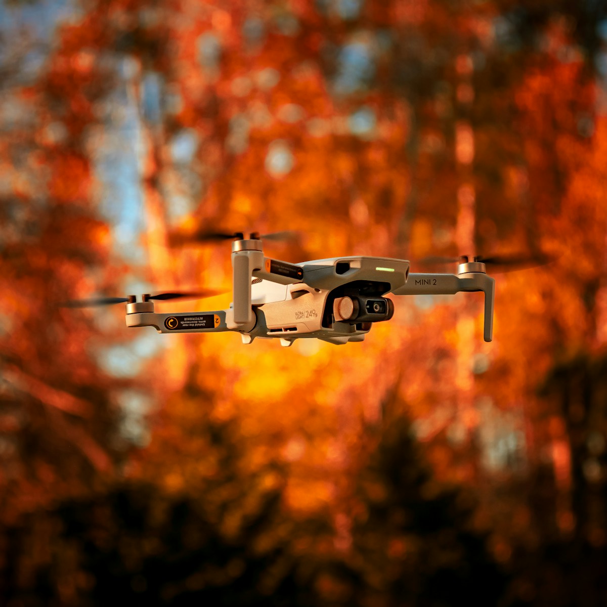
Unmanned Aerial Vehicles (UAVs) or drones have become increasingly popular for DSM generation. They offer flexibility, lower costs, and the ability to capture high-resolution data over smaller areas. This makes them ideal for applications like precision agriculture and urban development projects.
Using DSMs in Geographic Information Systems (GIS)
DSMs are often integrated into Geographic Information Systems (GIS) for further analysis and visualization. GIS software allows users to overlay DSMs with other spatial data, such as satellite imagery and land use maps. This integration aids in comprehensive spatial analysis and decision-making.
Users can perform terrain analysis, such as slope and aspect calculations, using DSM data in GIS. They can also create 3D visualizations, providing a realistic view of the terrain and surface features.
Data Sources for DSMs
Various data sources provide DSMs, ranging from government agencies to commercial vendors. The US Geological Survey (USGS) offers publicly available DSM data for different regions. Private companies like DigitalGlobe and Planet Labs provide high-resolution DSMs through subscription services.
Open data initiatives and crowdsourced platforms also contribute to DSM availability. Projects like OpenStreetMap and LiDAR Open Data provide access to community-generated DSM data.
Future Trends in DSM Technology
The future of DSM technology looks promising with continuous advancements. Improved sensors, better data processing algorithms, and increased use of AI will lead to more accurate and detailed DSMs. Integration of multi-source data, combining LiDAR, photogrammetry, and radar, will enhance model quality.
Greater availability of high-resolution DSMs will expand their applications. Emerging technologies like augmented reality (AR) and virtual reality (VR) will benefit from detailed DSMs, enhancing user experiences and providing new possibilities for visualization and interaction.
With ongoing innovations, DSMs will continue to be invaluable tools across various fields, providing critical insights and supporting decision-making in both the public and private sectors.


Stay in the loop
Get the latest light drones updates delivered to your inbox.