Complete Guide to Drone LiDAR Technology and Applications
Light Detection and Ranging (LiDAR) technology mounted on unmanned aerial platforms has revolutionized how we capture three-dimensional information about our environment. From forestry inventory to archaeological discovery, LiDAR drones deliver precision measurements that transform industries dependent on accurate spatial data. This comprehensive hub explores the technology, equipment, and applications that make aerial LiDAR an increasingly essential tool.
Our complete guide to LiDAR drones provides deep technical understanding of how these systems work. This hub connects you to specialized resources covering specific applications and equipment options.
Understanding LiDAR Fundamentals
How LiDAR Works
LiDAR technology emits rapid laser pulses and measures return times to calculate precise distances. Modern systems fire hundreds of thousands of pulses per second, building dense point clouds representing scanned surfaces. This active sensing approach works regardless of lighting conditions and penetrates vegetation that blocks traditional photography.
The history of LiDAR traces from early military and research applications to today’s commercial accessibility. Understanding this evolution provides context for current capabilities and future potential.
Comparison with Other Technologies
LiDAR vs radar comparisons reveal how different technologies serve different applications. LiDAR vs sonar evaluations clarify when each technology provides optimal results. Understanding these distinctions helps select appropriate tools for specific measurement needs.
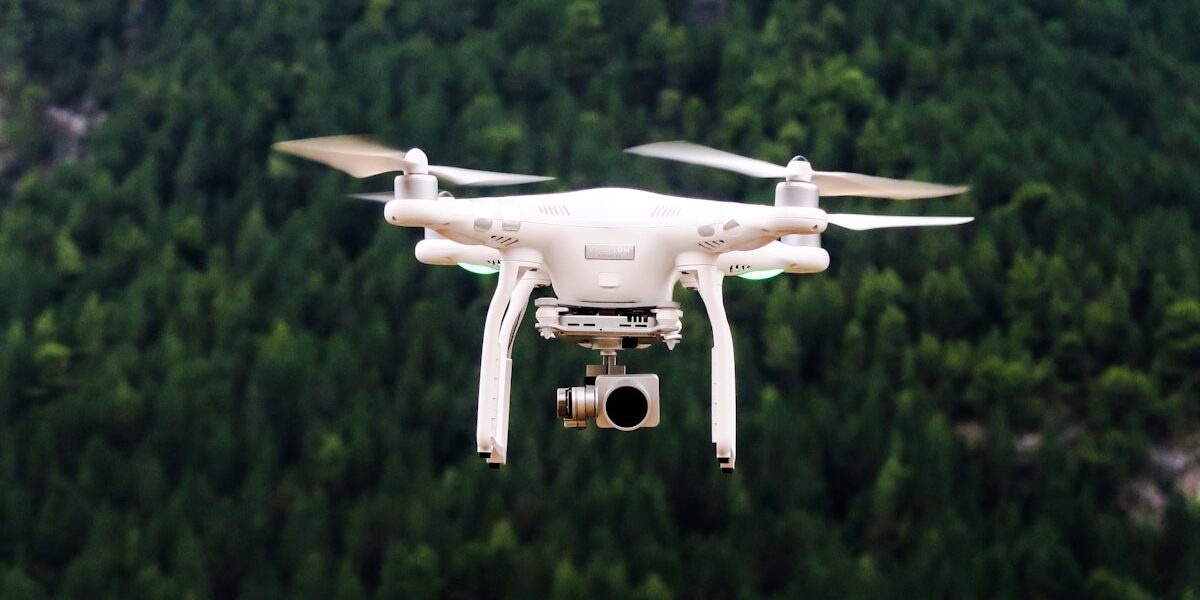
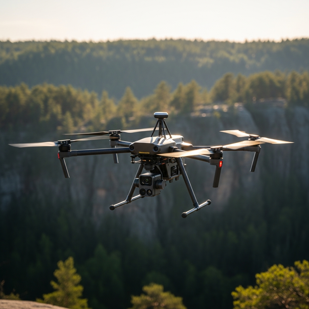
LiDAR Drone Equipment
Integrated Systems
Modern LiDAR drones integrate sensors, positioning systems, and aircraft into unified platforms. Affordable options have expanded market accessibility while professional systems deliver survey-grade accuracy for demanding applications.
Cost-effective innovations continue reducing entry barriers. Price decreases enable smaller organizations to access capabilities previously reserved for major enterprises.
Data Products
Point cloud visualization transforms raw measurements into interpretable three-dimensional models. Processing optimization ensures efficient conversion of collected data into deliverable products.
Digital surface models represent one of many products derivable from LiDAR point clouds. Terrain models, contour lines, and classified datasets serve different analytical workflows.
Industry Applications
Forestry and Natural Resources
LiDAR penetrates forest canopy to measure ground elevation beneath trees while simultaneously capturing canopy structure. This dual capability enables timber inventory, biomass estimation, and terrain analysis in forested areas inaccessible to other technologies.
Archaeological Discovery
LiDAR archaeology has revealed hidden structures across the globe, from Mayan cities beneath jungle canopy to subtle European landscape features. Precision measurements expose human modifications to terrain invisible at ground level.
Agricultural Applications
Agricultural LiDAR supports drainage analysis, terrain modeling, and crop structure assessment. Combined with other sensors, LiDAR contributes to precision agriculture systems optimizing resource application.
Surveying and Mapping
Land surveying represents a core LiDAR application. Advanced mapping services leverage LiDAR for projects requiring accuracy beyond photogrammetric capabilities.
Exploring LiDAR Benefits and Limitations
Understanding LiDAR advantages and limitations enables appropriate technology selection. LiDAR excels in vegetation penetration and low-light operation but carries cost and weight penalties compared to camera-based alternatives.
Point density, accuracy specifications, and operational constraints vary across equipment options. Matching capabilities to application requirements ensures cost-effective results.
Integration with Other Technologies
Modern surveying workflows often combine LiDAR with photogrammetric imagery. LiDAR provides accurate elevation while cameras capture visual detail and color information. This fusion produces comprehensive datasets serving multiple analytical needs.
Geographic information systems (GIS) integrate LiDAR-derived products with other spatial data layers. Understanding GIS workflows maximizes value extracted from LiDAR investments.
Career and Business Opportunities
LiDAR expertise commands premium rates in surveying and mapping markets. Professionals with LiDAR capabilities serve clients requiring accuracy and vegetation penetration beyond standard photogrammetry. Training investments in LiDAR operation and processing create competitive advantages.
Future of Aerial LiDAR
Sensor miniaturization continues expanding aircraft compatibility. Solid-state systems promise improved reliability through reduced mechanical complexity. Processing algorithms advance toward automated feature extraction that reduces manual intervention requirements.
The combination of decreasing costs and increasing capabilities positions LiDAR for expanding adoption across industries recognizing the value of precise three-dimensional environmental information. Organizations investing in LiDAR understanding and capabilities now position themselves advantageously for this growth.


Stay in the loop
Get the latest light drones updates delivered to your inbox.