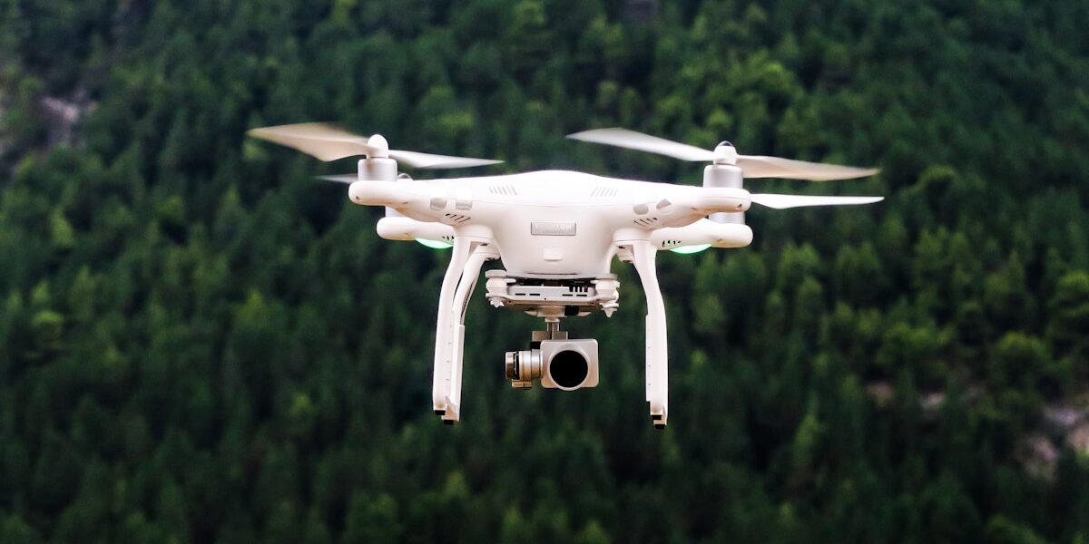
LiDAR and radar are both active ranging technologies, but they do not produce interchangeable data. LiDAR sends laser pulses and is usually chosen when a drone or aircraft must create a dense, geometrically precise 3D point cloud. Radar transmits radio or microwave energy and is usually chosen when the mission needs operation through cloud or darkness, sensitivity to moisture or surface structure, velocity measurement, or wide-area imaging.
The practical choice is not simply “which sensor is better?” It is: what must be measured, at what range and resolution, through which conditions, from what aircraft, and in what final data product?
LiDAR vs radar at a glance
| Question | LiDAR | Radar |
|---|---|---|
| Energy transmitted | Laser light, commonly near-infrared for topographic systems | Radio or microwave energy; wavelength and band vary by system |
| Typical output | Dense XYZ point cloud, intensity, and sometimes multiple returns | Range, reflectivity/backscatter, velocity, altitude, or a processed radar image depending on mode |
| Fine 3D surface detail | Usually the stronger choice at practical airborne mapping ranges | Possible with specialized imaging radar, but resolution and geometry depend heavily on antenna, wavelength, bandwidth, and processing |
| Cloud and darkness | Does not require sunlight, but cloud, fog, smoke, and precipitation can attenuate or scatter the laser | Does not require sunlight; many radar bands can operate through cloud and many weather conditions |
| Vegetation | Multiple pulses can pass through canopy gaps and return from leaves, branches, and some ground—not through solid vegetation | Longer wavelengths may interact with or penetrate parts of a canopy; the result depends on wavelength, polarization, moisture, and structure |
| Moving-target speed | Possible with specialized systems, but not the main product of typical mapping LiDAR | Doppler radar directly measures radial velocity |
| Small-drone integration | Common for high-resolution corridor, terrain, forestry, and structure mapping | Available for altimetry, obstacle sensing, ground-penetrating experiments, and compact SAR, but payload and processing demands vary widely |
How LiDAR measures a scene
LiDAR—light detection and ranging—emits timed laser pulses and measures the interval until reflected energy returns. Combining that range with the sensor’s position and attitude produces XYZ coordinates. A flight collects millions of coordinates into a 3D point cloud.
An airborne mapping package normally combines the laser scanner with GNSS and an inertial measurement unit. The sensor itself is only part of the accuracy chain: flight height, scan angle, pulse density, GNSS quality, boresight calibration, control points, surface reflectivity, vegetation, and processing all influence the final result.
Many systems record multiple returns from a pulse. The first return may represent the top of a tree canopy while a later return may come from a branch, understory, or ground visible through a gap. This is why LiDAR is valuable for forest structure and bare-earth modeling—but it is misleading to say the laser simply “sees through trees.”
How radar measures a scene
Radar—radio detection and ranging—transmits electromagnetic energy at much longer wavelengths than LiDAR and analyzes the returned echo. “Radar” covers several different instruments:
- Range radar measures distance to a target.
- Doppler radar uses frequency shift to measure radial velocity.
- Radar altimeters estimate height above a surface.
- Synthetic-aperture radar (SAR) combines returns collected as an aircraft or spacecraft moves to produce a focused two-dimensional image. Interferometric SAR can derive elevation or surface change.
- Ground-penetrating radar is designed for subsurface investigation under suitable material and frequency conditions.
A radar image is not an ordinary photograph. Brightness is driven by backscatter, which depends on wavelength, polarization, incidence angle, surface roughness, geometry, and electrical properties such as moisture. Smooth water may appear dark because energy reflects away from the antenna; rough or wet surfaces can return more energy.
Resolution: why LiDAR usually wins fine-detail mapping
Laser wavelengths and narrow beams allow airborne LiDAR to sample fine features and build dense 3D geometry. USGS uses LiDAR for high-resolution elevation models, terrain, vegetation, infrastructure, and change detection. For a drone operator mapping power lines, stockpiles, forest structure, road corridors, or buildings, a calibrated LiDAR system will often provide the most direct point-cloud workflow.
Radar can also produce high-resolution imagery, especially through SAR processing, but “radar has lower resolution” is not a universal law. Resolution depends on the radar design and mode. NASA explains that SAR uses platform motion and phase history to synthesize a much larger antenna, sharply improving along-track resolution. That capability comes with different geometry, processing, and interpretation than a LiDAR point cloud.
Weather and visibility: where radar has the advantage
Neither technology needs sunlight, so both can collect at night. The larger difference is atmospheric propagation.
Cloud, fog, smoke, dust, and precipitation can scatter or attenuate laser light. The severity depends on wavelength, particle size, density, range, power, receiver design, and the scene. Some specialized LiDAR systems intentionally measure aerosols or clouds, but a topographic drone LiDAR mission should not assume usable ground returns through dense cloud or heavy rain.
Many microwave radar systems can observe through cloud and darkness. NASA describes SAR as capable of day-and-night observation through most weather conditions. That does not mean every radar is immune to weather: attenuation and clutter vary by frequency, rainfall, and mission. Higher-frequency weather radars, for example, interact strongly with cloud and precipitation because that is exactly what they are designed to measure.
Vegetation, soil, and water
Vegetation
LiDAR resolves canopy layers and can recover terrain where enough laser shots reach gaps. Radar responds to vegetation structure and moisture; longer wavelengths can interact deeper in a canopy than shorter wavelengths. Neither statement should be simplified into guaranteed “penetration.” Dense canopy, wet conditions, wavelength, look angle, and sensor configuration determine the result.
Soil and subsurface claims
Typical topographic LiDAR measures exposed surfaces. Green-wavelength bathymetric LiDAR can measure through clear, shallow water under suitable conditions, but turbidity and bottom reflectance limit depth.
Some radar frequencies can penetrate dry snow, sand, soil, or vegetation to a degree, while ground-penetrating radar is built for subsurface work. Penetration depth is not a fixed specification: it changes with frequency, antenna, transmitted power, material conductivity, moisture, and target size.
Water surfaces
Near-infrared topographic LiDAR is strongly absorbed by water and is not a substitute for bathymetric LiDAR. Radar can be valuable for water extent, waves, roughness, and flood mapping, but smooth water may return little energy toward the antenna. Choose the sensor around the water product required, not the word “water.”
LiDAR vs radar for a drone project
Choose drone LiDAR when you need:
- a dense, directly georeferenced 3D point cloud;
- fine terrain, corridor, utility, building, or vegetation geometry;
- ground classification beneath partial canopy where laser returns can reach gaps;
- repeatable surface measurements under clear collection conditions; or
- a workflow feeding digital terrain models, digital surface models, contours, volumes, or asset extraction.
Choose radar when you need:
- collection through cloud, haze, or darkness using an appropriate band;
- radial velocity from Doppler processing;
- surface moisture or roughness information;
- wide-area SAR imaging or interferometric change measurement; or
- a specialized altitude, obstacle, or subsurface sensing function.
Check the aircraft before choosing either
Payload mass is only the beginning. Compare power draw, antenna or scanner field of view, vibration limits, cooling, data rate, onboard storage, GNSS/IMU requirements, flight endurance, regulatory operating limits, and processing software. A sensor with excellent laboratory specifications can be the wrong payload if it cuts flight time, exceeds center-of-gravity limits, or cannot produce the required accuracy at the planned altitude and speed.
Can LiDAR and radar work together?
Yes. Sensor fusion is often more useful than declaring a universal winner. LiDAR can supply detailed surface geometry while radar supplies more weather-tolerant coverage, motion, moisture sensitivity, or complementary structural information. The datasets require careful time synchronization, georeferencing, calibration, and an analysis plan; combining sensors does not automatically improve a product.
Related drone-mapping guides
- LiDAR drones for aerial scanning projects
- How drones create digital surface models
- UAS surveys for mapping projects
- Group 3 UAS capabilities and payload considerations
Authoritative references
- USGS: What is LiDAR?
- USGS: LiDAR data and elevation models
- NASA: How synthetic-aperture radar works
- NASA: Radar and LiDAR atmospheric measurements
Bottom line: use LiDAR when the core deliverable is dense, fine 3D geometry under suitable visibility. Use the appropriate radar when weather tolerance, motion, moisture response, wide-area microwave imaging, or a specialized ranging function matters more. Then validate the choice against the exact sensor, aircraft, site, and accuracy requirement.


Stay in the loop
Get the latest light drones updates delivered to your inbox.