Drone Drone Mapping Services guidance has gotten complicated with all the outdated regulations and conflicting advice flying around. Here’s what you actually need to know.
Drone Mapping Services: An In-Depth Look
Drone mapping services have revolutionized various industries. They provide detailed aerial views, transforming the way we approach data collection.
What is Drone Mapping?
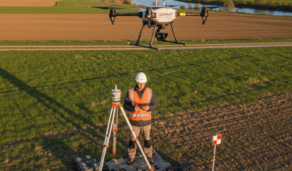
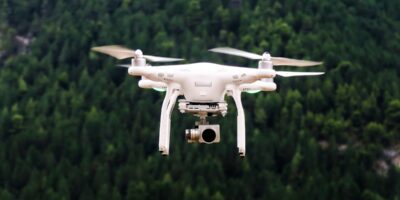
Drone mapping involves using unmanned aerial vehicles (UAVs) to capture high-resolution images from the air. It then processes these images into detailed maps and 3D models. These maps can offer perspectives and data that traditional surveying methods might miss.
Applications of Drone Mapping
Agriculture
Drone mapping helps monitor crop health. Farmers can identify stress points in fields, detect pests, and manage irrigation more effectively. This technology allows for precision farming, ultimately increasing yield.
Construction
Construction sites benefit from drone mapping through accurate topographic maps and progress monitoring. It ensures precise measurements and helps avoid costly mistakes during the building process.
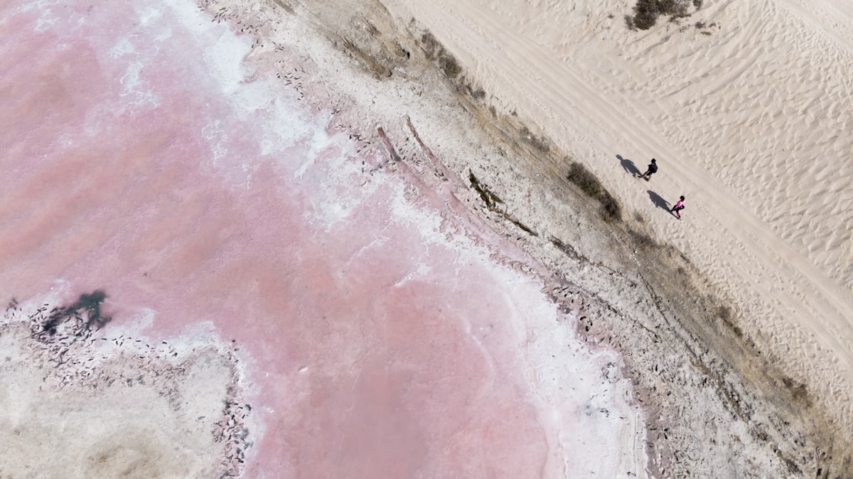
Environmental Management
Drones assist in forest management, coastline monitoring, and wildlife conservation. They provide data on tree counts, erosion rates, and animal populations efficiently.
Urban Planning
Cities use drone mapping for planning and development. It helps in traffic management, infrastructure assessment, and public utilities management.
Mining
In mining, drone mapping generates 3D models of sites to monitor mining operations and inventory management. This aids in safer and more efficient extraction processes.
Disaster Management
Drone mapping is crucial for rapid assessment and response during natural disasters. It helps in evaluating damage, planning rescue missions, and rebuilding efforts.
Advantages of Drone Mapping
- High Accuracy: Provides precise data, reducing human error.
- Cost-Effective: Less expensive compared to traditional surveying methods.
- Time-Saving: Rapid data collection and processing.
- Safety: Reduces the need for human presence in hazardous areas.
- Versatility: Applicable in various industries for diverse purposes.
Technologies Involved
Several technologies work together to make drone mapping effective.
GPS and GNSS
Global Positioning System (GPS) and Global Navigation Satellite System (GNSS) provide the geographic positioning needed for accurate mapping. They ensure that the images captured are geotagged correctly.
Photogrammetry
Photogrammetry analyzes photographic images to extract measurements and create maps. It processes the numerous images taken by drones into cohesive and detailed maps.
LIDAR
Light Detection and Ranging (LIDAR) uses lasers to measure distances. It is especially useful for capturing detailed information about the ground surface and vegetation.
Challenges in Drone Mapping
- Regulations: Compliance with local laws and regulations can be complex.
- Weather Dependence: Adverse weather conditions can delay operations.
- Technical Limitations: Limited flight time and payload capacity might restrict extensive surveys.
Choosing a Drone Mapping Service
When selecting a drone mapping service, consider these factors:
Expertise
Look for a service provider with experience in your industry. They should understand the specific requirements and challenges you face.
Technology
Ensure the provider uses advanced technology and has up-to-date equipment. This guarantees high-quality data collection and processing.
Compliance
Check if the service provider follows all necessary regulations and has the required licenses and certifications.
Customer Support
Good support can make a significant difference. Ensure they provide excellent customer service and post-processing assistance.
Future of Drone Mapping
As technology advances, the possibilities for drone mapping will expand. Improvements in battery life, AI integration, and data processing algorithms will enhance capabilities. This will make drone mapping an even more indispensable tool across various sectors.


Stay in the loop
Get the latest light drones updates delivered to your inbox.